
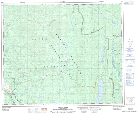
093G08 Ahbau Lake Canada topo map, 1:50,000 scale
093G08 Ahbau Lake NRCAN topographic map.
Includes UTM and GPS geographic coordinates (latitude and longitude). This 50k scale map is suitable for hiking, camping, and exploring, or you could frame it as a wall map.
Printed on-demand using high resolution, on heavy weight and acid free paper, or as an upgrade on a variety of synthetic materials.
Topos available on paper, Waterproof, Poly, or Tyvek. Usually shipping rolled, unless combined with other folded maps in one order.
- Product Number: NRCAN-093G08
- Parent Topo: TOPO-093G
- Map ID also known as: 093G08, 93G8, 93G08
- Unfolded Size: Approximately 26" high by 36" wide
- Weight (paper map): ca. 55 grams
- Map Type: POD NRCAN Topographic Map
- Map Scale: 1:50,000
- Geographical region: British Columbia, Canada
Neighboring Maps:
All neighboring Canadian topo maps are available for sale online at 1:50,000 scale.
Purchase the smaller scale map covering this area: Topo-093G
Spatial coverage:
Topo map sheet 093G08 Ahbau Lake covers the following places:
- Aba Lake - Ahbau Lake - Colebank Lake - Elkington Lake - Genevieve Lake - Gordie Lake - Gordie Lakes - Hanekan Lake - Hay Lake - Hudson Lake - Jimmac Lake - Lake Gordon - Lodi Lake - Lord Lake - Mary Lake - Murison Lake - Neck Lake - Pauli Lake - Pedley Lake - Pungut Lake - Ross Lake - Teapot Lake - Yardley Lake - Cariboo Regional District - Fraser Plateau - Interior Plateau - Ahbau Creek - Allcock Creek - Colebank Creek - Confusion Creek - Dunkley Creek - Elkington Creek - Galt Creek - Gold Creek - Hanekan Creek - Hixon Creek - Hollerand Creek - Jelinek Creek - Jerry Creek - Jimmac Creek - Little Hixon Creek - Little Naver Creek - Maxwell Creek - Meadowbank Creek - Muirhead Creek - Naver Creek - Nitaga Creek - Noon Creek - Pedley Creek - Pennefather Creek - Potlikker Creek - Rebman Creek - Sandanger Creek - Terry Creek - Toklo Creek - Toklo Creek - Tom Creek - Van Buskirk Brook - Vickers Creek - Willow River - Yardley Creek - Ahbau - Anderson - Cariboo - Dunkley - Strathnaver - Willow River


