
093G07 Hixon Canada topo map, 1:50,000 scale
093G07 Hixon NRCAN topographic map.
Includes UTM and GPS geographic coordinates (latitude and longitude). This 50k scale map is suitable for hiking, camping, and exploring, or you could frame it as a wall map.
Printed on-demand using high resolution, on heavy weight and acid free paper, or as an upgrade on a variety of synthetic materials.
Topos available on paper, Waterproof, Poly, or Tyvek. Usually shipping rolled, unless combined with other folded maps in one order.
- Product Number: NRCAN-093G07
- Parent Topo: TOPO-093G
- Map ID also known as: 093G07, 93G7, 93G07
- Unfolded Size: Approximately 26" high by 36" wide
- Weight (paper map): ca. 55 grams
- Map Type: POD NRCAN Topographic Map
- Map Scale: 1:50,000
- Geographical region: British Columbia, Canada
Neighboring Maps:
All neighboring Canadian topo maps are available for sale online at 1:50,000 scale.
Purchase the smaller scale map covering this area: Topo-093G
Spatial coverage:
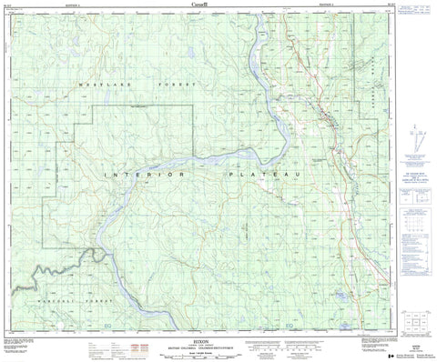
Topo map sheet 093G07 Hixon covers the following places:
- Woodpecker Island - Bonnalie Pond - Chubb Lake - Nelson Kenny Lake - Nelsonkenny Lake - Pedley Lake - Cariboo Regional District - Regional District of Fraser-Fort George - Fraser River Park - Interior Plateau - Nechako Plateau - Chinaman Rapids - Airfield Creek - Bartee Creek - Blackwater River - Bonnalie Creek - Buckley Creek - Charleson Creek - Colgrove Creek - Fraser River - Government Creek - Grundell Creek - Hixon Creek - Jacks Creek - Laura Brook - Little Hixon Creek - Marvin Creek - Meadowbank Creek - Naver Creek - Nelson Kenny Creek - Pedley Creek - Porter Creek - Tako Creek - Terry Creek - Toklo Creek - Van Buskirk Brook - West Road (Blackwater) River - West Road River - Whites Landing Creek - Colebank - Hixon - Hixon - Hixon - Strathnaver - Strathnaver - Walker - Whites Landing


