
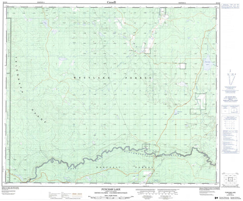
093G06 Punchaw Lake Canada topo map, 1:50,000 scale
093G06 Punchaw Lake NRCAN topographic map.
Includes UTM and GPS geographic coordinates (latitude and longitude). This 50k scale map is suitable for hiking, camping, and exploring, or you could frame it as a wall map.
Printed on-demand using high resolution, on heavy weight and acid free paper, or as an upgrade on a variety of synthetic materials.
Topos available on paper, Waterproof, Poly, or Tyvek. Usually shipping rolled, unless combined with other folded maps in one order.
- Product Number: NRCAN-093G06
- Parent Topo: TOPO-093G
- Map ID also known as: 093G06, 93G6, 93G06
- Unfolded Size: Approximately 26" high by 36" wide
- Weight (paper map): ca. 55 grams
- Map Type: POD NRCAN Topographic Map
- Map Scale: 1:50,000
- Geographical region: British Columbia, Canada
Neighboring Maps:
All neighboring Canadian topo maps are available for sale online at 1:50,000 scale.
Purchase the smaller scale map covering this area: Topo-093G
Spatial coverage:
Topo map sheet 093G06 Punchaw Lake covers the following places:
- Deep Creek Indian Reserve 5 - Nahlquonate Indian Reserve 2 - Réserve indienne Deep Creek 5 - Réserve indienne Nahlquonate 2 - Barton Lake - Boot Lake - Cleswuncut Lake - Punchaw Lake - Twin Lakes - Walkin Lake - Zippermouth Lake - Telegraph Range - Cariboo Regional District - Regional District of Fraser-Fort George - Interior Plateau - Blackburne Creek - Bonnalie Creek - Chilako River - Pantage Creek - Tako Creek - West Road (Blackwater) River - Wilhelmsen Creek - Blackwater - Punchaw - Fraser Basin


