
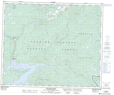
093F10 Big Bend Creek Canada topo map, 1:50,000 scale
093F10 Big Bend Creek NRCAN topographic map.
Includes UTM and GPS geographic coordinates (latitude and longitude). This 50k scale map is suitable for hiking, camping, and exploring, or you could frame it as a wall map.
Printed on-demand using high resolution, on heavy weight and acid free paper, or as an upgrade on a variety of synthetic materials.
Topos available on paper, Waterproof, Poly, or Tyvek. Usually shipping rolled, unless combined with other folded maps in one order.
- Product Number: NRCAN-093F10
- Parent Topo: TOPO-093F
- Map ID also known as: 093F10, 93F10
- Unfolded Size: Approximately 26" high by 36" wide
- Weight (paper map): ca. 55 grams
- Map Type: POD NRCAN Topographic Map
- Map Scale: 1:50,000
- Geographical region: British Columbia, Canada
Neighboring Maps:
All neighboring Canadian topo maps are available for sale online at 1:50,000 scale.
Purchase the smaller scale map covering this area: Topo-093F
Spatial coverage:
Topo map sheet 093F10 Big Bend Creek covers the following places:
- Big Bend Arm - Cheslatta Falls - Kenney Dam - Réserve indienne Targe Creek 15 - Targe Creek Indian Reserve 15 - Boomerang Lake - Chief Gray Lake - Copley Lake - Crystal Lake - Fish Lake - Hobson Lake - Knewstubb Lake - Lawrence Lake - Murray Lake - Nechako Reservoir - Targe Lake - Willington Lake - Cutoff Butte - Mount Hobson - Nechako Range - Cariboo Regional District - Regional District of Bulkley-Nechako - Interior Plateau - Nechako Plateau - Big Bend Creek - Cheslatta River - Cutoff Creek - Euchiniko River - Finger Creek - Lucas Creek - Nechako River - Schjelderup Creek - Swanson Creek - Targe Creek - Fellers Heights - Nechako Canyon


