
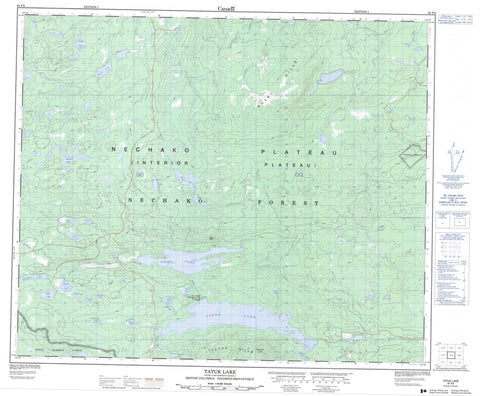
093F09 Tatuk Lake Canada topo map, 1:50,000 scale
093F09 Tatuk Lake NRCAN topographic map.
Includes UTM and GPS geographic coordinates (latitude and longitude). This 50k scale map is suitable for hiking, camping, and exploring, or you could frame it as a wall map.
Printed on-demand using high resolution, on heavy weight and acid free paper, or as an upgrade on a variety of synthetic materials.
Topos available on paper, Waterproof, Poly, or Tyvek. Usually shipping rolled, unless combined with other folded maps in one order.
- Product Number: NRCAN-093F09
- Parent Topo: TOPO-093F
- Map ID also known as: 093F09, 93F9, 93F09
- Unfolded Size: Approximately 26" high by 36" wide
- Weight (paper map): ca. 55 grams
- Map Type: POD NRCAN Topographic Map
- Map Scale: 1:50,000
- Geographical region: British Columbia, Canada
Neighboring Maps:
All neighboring Canadian topo maps are available for sale online at 1:50,000 scale.
Purchase the smaller scale map covering this area: Topo-093F
Spatial coverage:
Topo map sheet 093F09 Tatuk Lake covers the following places:
- Réserve indienne Tatuk Lake 7 - Tatuk Lake Indian Reserve 7 - Andros Lake - Arthur Lake - Boomerang Lake - Bostrom Lake - Duten Lake - Expansion Lake - Finger Lake - Finnie Lake - Fire Lake - Frank Lake - Gluten Lake - Hawley Lake - Home Lake - Inez Lake - Jardine Lake - Johnson Lake - Johny Lake - Kaiser Lake - Kobes Lake - Mountain Lake - Otter Lake - Paddle Lake - Prout Lake - Provis Lake - Ray Lake - Secord Lake - Slims Lake - Smolock Lake - Stefiuk Lake - Tatuk Lake - Thomas Lake - Vivian Lake - Willington Lake - Wren Lake - Iron Knoll - Nulki Hills - Tatuk Hill - Tatuk Hills - Cariboo Regional District - Regional District of Bulkley-Nechako - Finger-Tatuk Park - Interior Plateau - Nechako Plateau - Cabin Creek - Chilako River - Corkscrew Creek - Finger Creek - Greer Creek - Lavoie Creek - Sinkut River - Tatuk Creek


