
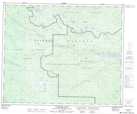
093F08 Euchiniko River Canada topo map, 1:50,000 scale
093F08 Euchiniko River NRCAN topographic map.
Includes UTM and GPS geographic coordinates (latitude and longitude). This 50k scale map is suitable for hiking, camping, and exploring, or you could frame it as a wall map.
Printed on-demand using high resolution, on heavy weight and acid free paper, or as an upgrade on a variety of synthetic materials.
Topos available on paper, Waterproof, Poly, or Tyvek. Usually shipping rolled, unless combined with other folded maps in one order.
- Product Number: NRCAN-093F08
- Parent Topo: TOPO-093F
- Map ID also known as: 093F08, 93F8, 93F08
- Unfolded Size: Approximately 26" high by 36" wide
- Weight (paper map): ca. 55 grams
- Map Type: POD NRCAN Topographic Map
- Map Scale: 1:50,000
- Geographical region: British Columbia, Canada
Neighboring Maps:
All neighboring Canadian topo maps are available for sale online at 1:50,000 scale.
Purchase the smaller scale map covering this area: Topo-093F
Spatial coverage:
Topo map sheet 093F08 Euchiniko River covers the following places:
- Batnuni Lake - Bodley Lake - Chuniar Lake - Chutanli Lake - Comstock Lake - Cory Lake - Goose Lake - Harp Lake - Hay Lake - Inez Lake - Klunchatistli Lake - Lavoie Lake - Turff Lake - Vance Lake - Batnuni Cone - Jerryboy Hills - Pilot Knoll - Tatuk Hills - Cariboo Regional District - Regional District of Bulkley-Nechako - Interior Plateau - Nechako Plateau - Bourgeois Creek - Lavoie Creek - Meadowbank Creek - Swede Creek - Taiuk Creek


