
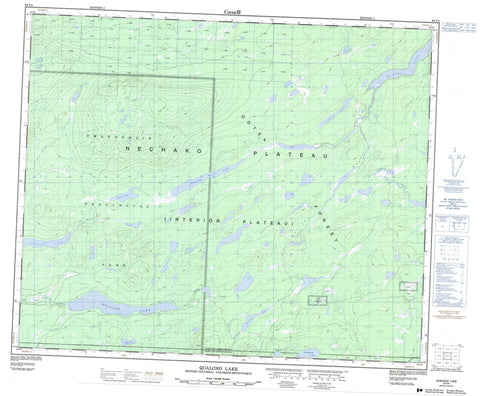
093F04 Qualcho Lake Canada topo map, 1:50,000 scale
093F04 Qualcho Lake NRCAN topographic map.
Includes UTM and GPS geographic coordinates (latitude and longitude). This 50k scale map is suitable for hiking, camping, and exploring, or you could frame it as a wall map.
Printed on-demand using high resolution, on heavy weight and acid free paper, or as an upgrade on a variety of synthetic materials.
Topos available on paper, Waterproof, Poly, or Tyvek. Usually shipping rolled, unless combined with other folded maps in one order.
- Product Number: NRCAN-093F04
- Parent Topo: TOPO-093F
- Map ID also known as: 093F04, 93F4, 93F04
- Unfolded Size: Approximately 26" high by 36" wide
- Weight (paper map): ca. 55 grams
- Map Type: POD NRCAN Topographic Map
- Map Scale: 1:50,000
- Geographical region: British Columbia, Canada
Neighboring Maps:
All neighboring Canadian topo maps are available for sale online at 1:50,000 scale.
Purchase the smaller scale map covering this area: Topo-093F
Spatial coverage:
Topo map sheet 093F04 Qualcho Lake covers the following places:
- Réserve indienne Ulkatcho 6 - Ulkatcho Indian Reserve 6 - Captain Harry Lake - Cold Camp Lake - Entiako Lake - Majuba Lake - Natuza Lake - Qualcho Lake - Teddy Lake - Tsayaguigz Lake - Tsayakwacha Lake - Tschick Lake - Tsitelt Lake - Regional District of Bulkley-Nechako - Tweedsmuir Park - Interior Plateau - Nechako Plateau - Detna Creek - Entiako River - Fawnie Creek - Natuza Creek - Qualcho Creek - Sigutlat Creek - Sigutlat River


