
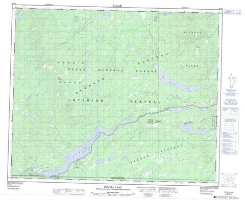
093F02 Tsacha Lake Canada topo map, 1:50,000 scale
093F02 Tsacha Lake NRCAN topographic map.
Includes UTM and GPS geographic coordinates (latitude and longitude). This 50k scale map is suitable for hiking, camping, and exploring, or you could frame it as a wall map.
Printed on-demand using high resolution, on heavy weight and acid free paper, or as an upgrade on a variety of synthetic materials.
Topos available on paper, Waterproof, Poly, or Tyvek. Usually shipping rolled, unless combined with other folded maps in one order.
- Product Number: NRCAN-093F02
- Parent Topo: TOPO-093F
- Map ID also known as: 093F02, 93F2, 93F02
- Unfolded Size: Approximately 26" high by 36" wide
- Weight (paper map): ca. 55 grams
- Map Type: POD NRCAN Topographic Map
- Map Scale: 1:50,000
- Geographical region: British Columbia, Canada
Neighboring Maps:
All neighboring Canadian topo maps are available for sale online at 1:50,000 scale.
Purchase the smaller scale map covering this area: Topo-093F
Spatial coverage:
Topo map sheet 093F02 Tsacha Lake covers the following places:
- Kluskus Indian Reserve 1 - Kushya Creek Indian Reserve 12 - Kushya Creek Indian Reserve 7 - Réserve indienne Kluskus 1 - Réserve indienne Kushya Creek 12 - Réserve indienne Kushya Creek 7 - Réserve indienne Tsachla Lake 8 - Réserve indienne Upper Kluskus Lake 9 - Tsachla Lake Indian Reserve 8 - Upper Kluskus Lake Indian Reserve 9 - Euchiniko Lakes - Kluskus Lakes - Kuyakuz Lake - Tatelkuz Lake - Top Lake - Tsacha Lake - Fawnie Range - Kluskus Hills - Kuyakuz Mountain - Mount Davidson - Mount Kuyakuz - Naglico Hills - Nechako Mountains - Nechako Range - Tsacha Mountain - Cariboo Regional District - Fraser Plateau - Interior Plateau - Nechako Plateau - Bishop Creek - Chedakuz Creek - Davidson Creek - Kluskus Creek - Kushya River - Mathews Creek - Twin Lakes Creek - West Road (Blackwater) River


