
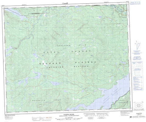
093E15 Nadina River Canada topo map, 1:50,000 scale
093E15 Nadina River NRCAN topographic map.
Includes UTM and GPS geographic coordinates (latitude and longitude). This 50k scale map is suitable for hiking, camping, and exploring, or you could frame it as a wall map.
Printed on-demand using high resolution, on heavy weight and acid free paper, or as an upgrade on a variety of synthetic materials.
Topos available on paper, Waterproof, Poly, or Tyvek. Usually shipping rolled, unless combined with other folded maps in one order.
- Product Number: NRCAN-093E15
- Parent Topo: TOPO-093E
- Map ID also known as: 093E15, 93E15
- Unfolded Size: Approximately 26" high by 36" wide
- Weight (paper map): ca. 55 grams
- Map Type: POD NRCAN Topographic Map
- Map Scale: 1:50,000
- Geographical region: British Columbia, Canada
Neighboring Maps:
All neighboring Canadian topo maps are available for sale online at 1:50,000 scale.
Purchase the smaller scale map covering this area: Topo-093E
Spatial coverage:
Topo map sheet 093E15 Nadina River covers the following places:
- Andrews Bay - Gourdeau Bay - Mosquito Crag - Réserve indienne Tatla 1 - Réserve indienne Tatla West 11 - Tatla Indian Reserve 1 - Tatla West Indian Reserve 11 - Dawson Lake - Enter Lake - Fish Lake - François Lake - Hill-Tout Lake - Horseshoe Lake - Jewell Lake - Nadina Lake - Nechako Reservoir - Needle Lake - No-Mans Lake - Ootsa Lake - Picket Lake - Shelford Lake - Short Portage Lake - Skinny Lake - Stanton Lake - Tagetochlain Lake - Mosquito Hills - Picket Hill - Quanchus Mountains - Quanchus Range - Shelford Hills - Regional District of Bulkley-Nechako - Andrew Bay Park - Andrews Bay Park - Little Andrews Bay Marine Park - Tweedsmuir Park - Interior Plateau - Nechako Plateau - Andrews Creek - Campbell Creek - Nadina River - Shelford Creek - Tagetochlain Creek - Tahtsa River - Tahtsa Reach - Nadina River


