
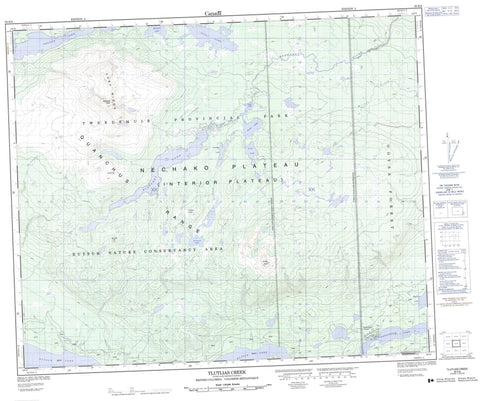
093E08 Tlutlias Creek Canada topo map, 1:50,000 scale
093E08 Tlutlias Creek NRCAN topographic map.
Includes UTM and GPS geographic coordinates (latitude and longitude). This 50k scale map is suitable for hiking, camping, and exploring, or you could frame it as a wall map.
Printed on-demand using high resolution, on heavy weight and acid free paper, or as an upgrade on a variety of synthetic materials.
Topos available on paper, Waterproof, Poly, or Tyvek. Usually shipping rolled, unless combined with other folded maps in one order.
- Product Number: NRCAN-093E08
- Parent Topo: TOPO-093E
- Map ID also known as: 093E08, 93E8, 93E08
- Unfolded Size: Approximately 26" high by 36" wide
- Weight (paper map): ca. 55 grams
- Map Type: POD NRCAN Topographic Map
- Map Scale: 1:50,000
- Geographical region: British Columbia, Canada
Neighboring Maps:
All neighboring Canadian topo maps are available for sale online at 1:50,000 scale.
Purchase the smaller scale map covering this area: Topo-093E
Spatial coverage:
Topo map sheet 093E08 Tlutlias Creek covers the following places:
- Blanchet Lake - Elalie Lake - Eutsuk Lake - Fenton Lake - Goosefoot Lake - Justa Lake - Lena Lake - Morgan Lake - Nutli Lake - Rae Lake - Tetachuck Lake - Tlutlias Lake - Chef Peak - Chef Ridge - Eutsuk Mountain - Eutsuk Peak - Grizzly Hill - Grizzly Ridge - Junction Hill - Quanchus Mountains - Tlutlias Cone - Wells Gray Peak - Regional District of Bulkley-Nechako - Tweedsmuir Park - Interior Plateau - Nechako Plateau - Blanchet River - Michel Creek - St. Thomas River - Tlutlias Creek - Tetachuk


