
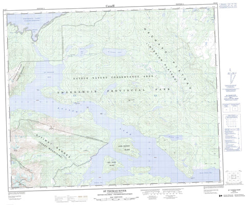
093E07 St Thomas River Canada topo map, 1:50,000 scale
093E07 St Thomas River NRCAN topographic map.
Includes UTM and GPS geographic coordinates (latitude and longitude). This 50k scale map is suitable for hiking, camping, and exploring, or you could frame it as a wall map.
Printed on-demand using high resolution, on heavy weight and acid free paper, or as an upgrade on a variety of synthetic materials.
Topos available on paper, Waterproof, Poly, or Tyvek. Usually shipping rolled, unless combined with other folded maps in one order.
- Product Number: NRCAN-093E07
- Parent Topo: TOPO-093E
- Map ID also known as: 093E07, 93E7, 93E07
- Unfolded Size: Approximately 26" high by 36" wide
- Weight (paper map): ca. 55 grams
- Map Type: POD NRCAN Topographic Map
- Map Scale: 1:50,000
- Geographical region: British Columbia, Canada
Neighboring Maps:
All neighboring Canadian topo maps are available for sale online at 1:50,000 scale.
Purchase the smaller scale map covering this area: Topo-093E
Spatial coverage:
Topo map sheet 093E07 St Thomas River covers the following places:
- Chikamin Bay - Grell Cove - Pondosy Bay - Sand Cabin Bay - St. Thomas Bay - Alastair Point - Le Bourdais Point - Sullivan Point - John Buchan Island - John Buchan Isle - Lady Susan Island - Lobstick Island - Rose Island - Suscha Island - Susyez Island - Eutsuk Lake - Fenton Lake - Goodrich Lake - Haven Lake - Nechako Reservoir - Rae Lake - Redfish Lake - Reid Lake - St. Thomas Lake - Whitesail Lake - Bone Mountain - Chikamin Range - Coast Mountains - Eutsuk Mountain - Hazelton Mountains - Key Mountain - Kitimat Ranges - Noel Fergusson Hill - Noel Fergusson Ridge - Red Bird Mountain - Central Coast Regional District - Regional District of Bulkley-Nechako - Tweedsmuir Park - Tweedsmuir Recreation Area - Interior Plateau - Nechako Plateau - Bone Creek - Chikamin Creek - St. Thomas River


