
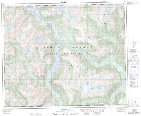
093E04 Kitlope Lake Canada topo map, 1:50,000 scale
093E04 Kitlope Lake NRCAN topographic map.
Includes UTM and GPS geographic coordinates (latitude and longitude). This 50k scale map is suitable for hiking, camping, and exploring, or you could frame it as a wall map.
Printed on-demand using high resolution, on heavy weight and acid free paper, or as an upgrade on a variety of synthetic materials.
Topos available on paper, Waterproof, Poly, or Tyvek. Usually shipping rolled, unless combined with other folded maps in one order.
- Product Number: NRCAN-093E04
- Parent Topo: TOPO-093E
- Map ID also known as: 093E04, 93E4, 93E04
- Unfolded Size: Approximately 26" high by 36" wide
- Weight (paper map): ca. 55 grams
- Map Type: POD NRCAN Topographic Map
- Map Scale: 1:50,000
- Geographical region: British Columbia, Canada
Neighboring Maps:
All neighboring Canadian topo maps are available for sale online at 1:50,000 scale.
Purchase the smaller scale map covering this area: Topo-093E
Spatial coverage:
Topo map sheet 093E04 Kitlope Lake covers the following places:
- Kitlope Anchorage - Sleep Cove - Creek Point - Eagle Bluff - Gardner Canal - River Bluff - Kitlope Indian Reserve 16 - Réserve indienne Kitlope 16 - Réserve indienne Wekellals 15 - Wekellals Indian Reserve 15 - Kitlope Lake - Chaîne Côtière - Coast Mountains - Kitimat Ranges - Kitlope Range - Mount Blane - Mount Gamsby - Tenaiko Mountains - Tenaiko Range - Tsaytis Mountain - Regional District of Kitimat-Stikine - Fiordland Recreation Area - Gamsby Creek - Gamsby River - Icy Creek - Icy River - Kalitan Creek - Kapella River - Kitlope River - Tenaiko Creek - Tezwa River - Tsaytis River


