
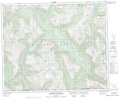
093E03 Foresight Mountain Canada topo map, 1:50,000 scale
093E03 Foresight Mountain NRCAN topographic map.
Includes UTM and GPS geographic coordinates (latitude and longitude). This 50k scale map is suitable for hiking, camping, and exploring, or you could frame it as a wall map.
Printed on-demand using high resolution, on heavy weight and acid free paper, or as an upgrade on a variety of synthetic materials.
Topos available on paper, Waterproof, Poly, or Tyvek. Usually shipping rolled, unless combined with other folded maps in one order.
- Product Number: NRCAN-093E03
- Parent Topo: TOPO-093E
- Map ID also known as: 093E03, 93E3, 93E03
- Unfolded Size: Approximately 26" high by 36" wide
- Weight (paper map): ca. 55 grams
- Map Type: POD NRCAN Topographic Map
- Map Scale: 1:50,000
- Geographical region: British Columbia, Canada
Neighboring Maps:
All neighboring Canadian topo maps are available for sale online at 1:50,000 scale.
Purchase the smaller scale map covering this area: Topo-093E
Spatial coverage:
Topo map sheet 093E03 Foresight Mountain covers the following places:
- Cosgrove Lake - Ear Lake - Kimsquit Lake - Salahagen Lake - Chaîne Côtière - Chatsquot Mountain - Coast Mountains - Crawford Peak - Dam Peak - Foresight Mountain - George Peak - Kimsquit Ridge - Kitimat Ranges - Mount Cosgrove - Mount Kastberg - Mount McVickar - Nakhon Peak - Price Peak - Sharks Teeth Peaks - Tenaiko Mountains - Tenaiko Range - Thumb Peak - Tochquonyalla Range - Trapper Mountain - Whitecone Peak - Central Coast Regional District - Regional District of Bulkley-Nechako - Regional District of Kitimat-Stikine - Tweedsmuir Park - Chatsquot Creek - Ear Creek - Foresight Creek - Gamsby Creek - Gamsby River - George Creek - Kapella River - Kimsquit River - Kitlope River - Robson Creek - Salahagen Creek - Salient Creek - Siah Creek - Smaby Creek - Tipso Creek - Trapper Creek - Gardé Pass - Grizzly Saddle - Surel Pass


