
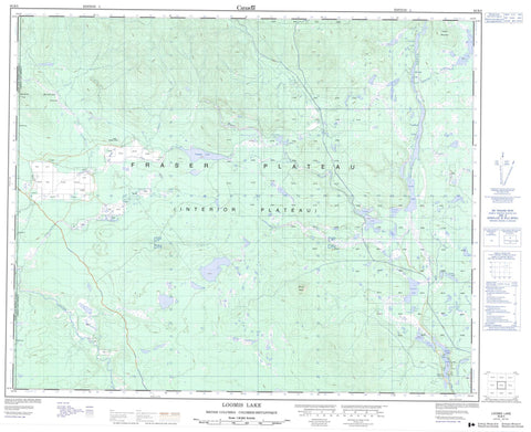
093B05 Loomis Lake Canada topo map, 1:50,000 scale
093B05 Loomis Lake NRCAN topographic map.
Includes UTM and GPS geographic coordinates (latitude and longitude). This 50k scale map is suitable for hiking, camping, and exploring, or you could frame it as a wall map.
Printed on-demand using high resolution, on heavy weight and acid free paper, or as an upgrade on a variety of synthetic materials.
Topos available on paper, Waterproof, Poly, or Tyvek. Usually shipping rolled, unless combined with other folded maps in one order.
- Product Number: NRCAN-093B05
- Parent Topo: TOPO-093B
- Map ID also known as: 093B05, 93B5, 93B05
- Unfolded Size: Approximately 26" high by 36" wide
- Weight (paper map): ca. 55 grams
- Map Type: POD NRCAN Topographic Map
- Map Scale: 1:50,000
- Geographical region: British Columbia, Canada
Neighboring Maps:
All neighboring Canadian topo maps are available for sale online at 1:50,000 scale.
Purchase the smaller scale map covering this area: Topo-093B
Spatial coverage:
Topo map sheet 093B05 Loomis Lake covers the following places:
- Alexis Lake - Bert Lake - Carnation Lake - Deerpelt Lake - Gruidae Lake - Halfbent Lake - Little Alexis Lake - Loomis Lake - Nastachi Lake - Nazko Lake - Nazko Lake - One Lake - Plover Lake - Spain Lake - Summit Lake - Tanilkul Lake - Temapho Lake - Two Lake - Tzazati Lake - Meridional Hill - Mount Alexis - Tzazati Mountain - Cariboo Regional District - Nazko Lake Park - Fraser Plateau - Interior Plateau - Alexis Creek - Char Springs Creek - Chesako Creek - Chilcotin River - Clinchintampan Creek - Cooper Creek - Goering Creek - Henderson Creek - Maxwell Creek - Mulvahill Ditch - Nazko River - Ross Creek - Spade Ranch Creek - Tanilkul Creek - Meridional Swamp


