
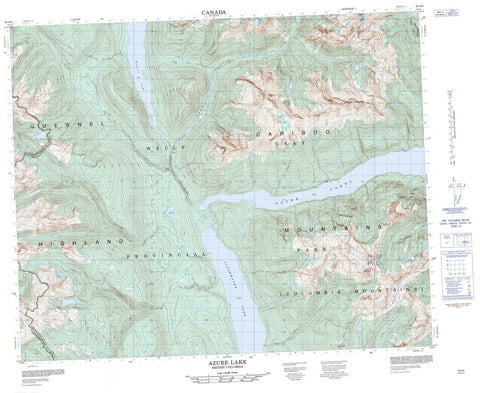
093A08 Azure Lake Canada topo map, 1:50,000 scale
093A08 Azure Lake NRCAN topographic map.
Includes UTM and GPS geographic coordinates (latitude and longitude). This 50k scale map is suitable for hiking, camping, and exploring, or you could frame it as a wall map.
Printed on-demand using high resolution, on heavy weight and acid free paper, or as an upgrade on a variety of synthetic materials.
Topos available on paper, Waterproof, Poly, or Tyvek. Usually shipping rolled, unless combined with other folded maps in one order.
- Product Number: NRCAN-093A08
- Parent Topo: TOPO-093A
- Map ID also known as: 093A08, 93A8, 93A08
- Unfolded Size: Approximately 26" high by 36" wide
- Weight (paper map): ca. 55 grams
- Map Type: POD NRCAN Topographic Map
- Map Scale: 1:50,000
- Geographical region: British Columbia, Canada
Neighboring Maps:
All neighboring Canadian topo maps are available for sale online at 1:50,000 scale.
Purchase the smaller scale map covering this area: Topo-093A
Spatial coverage:
Topo map sheet 093A08 Azure Lake covers the following places:
- Huckleberry Beach - Indian Point - Crystal Falls - Garnet Falls - Sundt Falls - Garnet Glacier - Azure Lake - Clearwater Lake - De Weiss Lake - Hobson Lake - Azure Mountain - Batoche - Buchanan Peak - Cariboo Mountain - Columbia Mountains - Garnet Peak - Mount Huntley - Mount Ray - Quesnel Highland - Tryfan Mountain - Zodiac Mountain - Cariboo Regional District - Wells Gray Park - Interior Plateau - Archer Creek - Baking Powder Creek - Barella Creek - Chisholm Creek - Clearwater River - Emery Creek - Falls Creek - Garnet Creek - Goat Creek - Ivor Creek - Lickskillet Creek - Molen Creek - Ovis Creek - Huntley Col - Snowfield Col


