
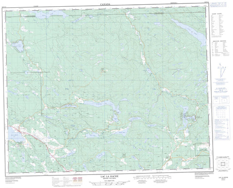
092P14 Lac La Hache Canada topo map, 1:50,000 scale
092P14 Lac La Hache NRCAN topographic map.
Includes UTM and GPS geographic coordinates (latitude and longitude). This 50k scale map is suitable for hiking, camping, and exploring, or you could frame it as a wall map.
Printed on-demand using high resolution, on heavy weight and acid free paper, or as an upgrade on a variety of synthetic materials.
Topos available on paper, Waterproof, Poly, or Tyvek. Usually shipping rolled, unless combined with other folded maps in one order.
- Product Number: NRCAN-092P14
- Parent Topo: TOPO-092P
- Map ID also known as: 092P14, 92P14
- Unfolded Size: Approximately 26" high by 36" wide
- Weight (paper map): ca. 55 grams
- Map Type: POD NRCAN Topographic Map
- Map Scale: 1:50,000
- Geographical region: British Columbia, Canada
Neighboring Maps:
All neighboring Canadian topo maps are available for sale online at 1:50,000 scale.
Purchase the smaller scale map covering this area: Topo-092P
Spatial coverage:
Topo map sheet 092P14 Lac La Hache covers the following places:
- Canim Lake Indian Reserve 1 - Canim Lake Indian Reserve 3 - Canim Lake Indian Reserve 4 - Réserve indienne Canim Lake 1 - Réserve indienne Canim Lake 3 - Réserve indienne Canim Lake 4 - 108 Mile Lake - Bearpaw Lake - Becker Lake - Bedingfield Lake - Bryne Lake - Chautemps Lake - Chub Lake - Club Lake - Cope Lake - Dempsey Lake - Fly Lake - Goose Lake - Greeny Lake - Itautso Lake - Lac la Hache - Lake of The Trees - Lang Lake - Larsen Lake - Lower Lake - Lower Peach Lake - Lucile Lake - Lucile Lakes - MacDougall Lake - Morrison Lake - Nash Lake - Nettie Lake - Ogden Lake - Peach Lake - Pete Kitchen Lake - Rail Lake - Ruth Lake - Sand Hill Lake - Sherman Lake - Sneezie Lake - Soda Lake - Spout Lake - Spring Lake - Stack Lake - Sucker Lake - Timothy Lake - Tubbs Lake - Upper Lake - Whitehorse Lake - Wilcox Lake - Camelsfoot Mountains - Mount Timothy - Cariboo Regional District - Ruth Lake Park - Fraser Plateau - Interior Plateau - Mount Timothy - 111 Mile Creek - 117 Mile Creek - Berlichingen Creek - Boabdil Creek - Boas Creek - Boccaccio Creek - Bradley Creek - Bridge Creek - Chautemps Creek - Chicken Creek - Dempsey Creek - Eagle Creek - Goose Creek - Halfway Creek - Husham Creek - Morrison Creek - Neil Creek - Nettie Creek - Rail Creek - Ravine Creek - Rock Creek - Ruth Creek - Saddle Creek - Timothy Creek - Watson Creek - Westman Creek - 111 Mile House - 114 Mile House - Clarks Crossing - Forest Grove - Lac la Hache - Lac la Hache


