
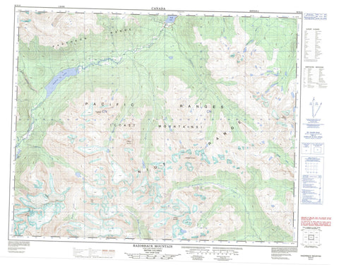
092N10 Razorback Mountain Canada topo map, 1:50,000 scale
092N10 Razorback Mountain NRCAN topographic map.
Includes UTM and GPS geographic coordinates (latitude and longitude). This 50k scale map is suitable for hiking, camping, and exploring, or you could frame it as a wall map.
Printed on-demand using high resolution, on heavy weight and acid free paper, or as an upgrade on a variety of synthetic materials.
Topos available on paper, Waterproof, Poly, or Tyvek. Usually shipping rolled, unless combined with other folded maps in one order.
- Product Number: NRCAN-092N10
- Parent Topo: TOPO-092N
- Map ID also known as: 092N10, 92N10
- Unfolded Size: Approximately 26" high by 36" wide
- Weight (paper map): ca. 55 grams
- Map Type: POD NRCAN Topographic Map
- Map Scale: 1:50,000
- Geographical region: British Columbia, Canada
Neighboring Maps:
All neighboring Canadian topo maps are available for sale online at 1:50,000 scale.
Purchase the smaller scale map covering this area: Topo-092N
Spatial coverage:
Topo map sheet 092N10 Razorback Mountain covers the following places:
- Pagoda Glacier - Rusty Glacier - Belemnite Lake - Bluff Lake - Middle Lake - Twist Lake - Upper Belemnite Lake - Blackhorn Mountain - Camel Mountain - Chaîne Côtière - Coast Mountains - Kontlan Ridge - Mount Mullen - Mount Nicholson - Niut Mountain - Niut Range - Ottarasko Mountain - Pacific Ranges - Pantheon Range - Razorback Mountain - Rusty Peak - Whitesaddle Mountain - Cariboo Regional District - Regional District of Comox-Strathcona - Belemnite Creek - Butler Creek - Charlie Creek - Cherry Creek - Five Finger Creek - Garbutt Creek - Hell Raving Creek - Homathko River - Jamison Creek - Nude Creek - Ottarasko Creek - Ottarasko River - Quartz Creek - Razor Creek - Sand Creek - Valleau Creek - Whitesaddle Creek


