
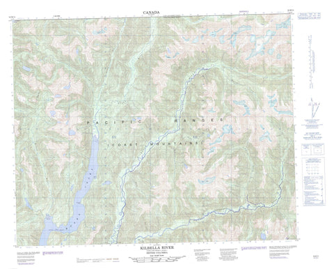
092M14 Kilbella River Canada topo map, 1:50,000 scale
092M14 Kilbella River NRCAN topographic map.
Includes UTM and GPS geographic coordinates (latitude and longitude). This 50k scale map is suitable for hiking, camping, and exploring, or you could frame it as a wall map.
Printed on-demand using high resolution, on heavy weight and acid free paper, or as an upgrade on a variety of synthetic materials.
Topos available on paper, Waterproof, Poly, or Tyvek. Usually shipping rolled, unless combined with other folded maps in one order.
- Product Number: NRCAN-092M14
- Parent Topo: TOPO-092M
- Map ID also known as: 092M14, 92M14
- Unfolded Size: Approximately 26" high by 36" wide
- Weight (paper map): ca. 55 grams
- Map Type: POD NRCAN Topographic Map
- Map Scale: 1:50,000
- Geographical region: British Columbia, Canada
Neighboring Maps:
All neighboring Canadian topo maps are available for sale online at 1:50,000 scale.
Purchase the smaller scale map covering this area: Topo-092M
Spatial coverage:
Topo map sheet 092M14 Kilbella River covers the following places:
- Eberts Cove - Inrig Bay - Moses Inlet - Hoy Point - Penelope Point - Nelson Narrows - Nalau Island - Chaîne Côtière - Coast Mountains - Pacific Ranges - Central Coast Regional District - Ocean Falls Regional District - Chuckwalla River - Clyak River - Eberts Creek - Ellen Creek - House Creek - Inrig Creek - Johns Creek - Kilbella River - Krantz Creek - Laurel Creek - Lone Creek - Macks Creek - Mallon Creek - Matilda Creek - Milton River - Niel Creek - Niel River - Quatlena River - Rise Creek - Sowick Creek - West Inrig Creek - Young River


