
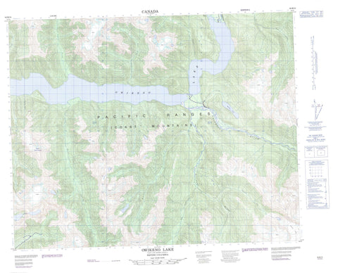
092M10 Owikeno Lake Canada topo map, 1:50,000 scale
092M10 Owikeno Lake NRCAN topographic map.
Includes UTM and GPS geographic coordinates (latitude and longitude). This 50k scale map is suitable for hiking, camping, and exploring, or you could frame it as a wall map.
Printed on-demand using high resolution, on heavy weight and acid free paper, or as an upgrade on a variety of synthetic materials.
Topos available on paper, Waterproof, Poly, or Tyvek. Usually shipping rolled, unless combined with other folded maps in one order.
- Product Number: NRCAN-092M10
- Parent Topo: TOPO-092M
- Map ID also known as: 092M10, 92M10
- Unfolded Size: Approximately 26" high by 36" wide
- Weight (paper map): ca. 55 grams
- Map Type: POD NRCAN Topographic Map
- Map Scale: 1:50,000
- Geographical region: British Columbia, Canada
Neighboring Maps:
All neighboring Canadian topo maps are available for sale online at 1:50,000 scale.
Purchase the smaller scale map covering this area: Topo-092M
Spatial coverage:
Topo map sheet 092M10 Owikeno Lake covers the following places:
- First Narrows - Second Narrows - Cheetwoot Glacier - Owikeno Lake - Walkus Lake - Chaîne Côtière - Coast Mountains - Mount Manzo Nagano - Mount Woolliams - Pacific Ranges - Central Coast Regional District - Regional District of Mount Waddington - Ashlulm Creek - Cheetwoot Creek - Doos Creek - Genesee Creek - Kulee Creek - Kull Creek - Loquaist Creek - Machmell River - Marble Creek - Neechanz River - Nekite River - Phinney Creek - Reeve Creek - Sheemahant River - Sowick Creek


