
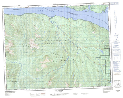
092L08 Adam River Canada topo map, 1:50,000 scale
092L08 Adam River NRCAN topographic map.
Includes UTM and GPS geographic coordinates (latitude and longitude). This 50k scale map is suitable for hiking, camping, and exploring, or you could frame it as a wall map.
Printed on-demand using high resolution, on heavy weight and acid free paper, or as an upgrade on a variety of synthetic materials.
Topos available on paper, Waterproof, Poly, or Tyvek. Usually shipping rolled, unless combined with other folded maps in one order.
- Product Number: NRCAN-092L08
- Parent Topo: TOPO-092L
- Map ID also known as: 092L08, 92L8, 92L08
- Unfolded Size: Approximately 26" high by 36" wide
- Weight (paper map): ca. 55 grams
- Map Type: POD NRCAN Topographic Map
- Map Scale: 1:50,000
- Geographical region: British Columbia, Canada
Neighboring Maps:
All neighboring Canadian topo maps are available for sale online at 1:50,000 scale.
Purchase the smaller scale map covering this area: Topo-092L
Spatial coverage:
Topo map sheet 092L08 Adam River covers the following places:
- Blenkinsop Bay - Port Neville - St. Vincent Bight - Hickey Point - Neville Point - Point George - Point Tuna - Ransom Point - Stimpson Point - Tuna Point - Windy Point - Johnstone Strait - White Bluff - Haylahte Indian Reserve 3 - Réserve indienne Haylahte 3 - Île de Vancouver - Jesse Island - Milly Island - Vancouver Island - Haihte Lake - Keta Lake - Rooney Lake - Tlowils Lake - Cederstedt Mountain - Collingwood Mount - Hardy Peak - Jagged Mountain - Juliet Mountain - Mount Cederstedt - Mount Elliott - Mount Hardy - Mount Juliet - Mount Nelson - Mount Palmerston - Mount Peel - Mount Romeo - Mount Russell - Mount St. Vincent - Nelson Range - Nelson Ridge - Newcastle Ridge - Romeo Mountain - Vancouver Island Mountains - Vancouver Island Ranges - Regional District of Mount Waddington - Adam River - Aldworth Creek - Capulet Creek - Cederstedt Creek - Cox Creek - Eve River - Kunnum Creek - Montague Creek - Naka Creek - Newcastle Creek - Palmerston Creek - Rooney Creek - Russell Creek - Schmidt Creek - Tessium Creek - Tlatlos Creek - Blink Rock - Datum Boulder - Elf Shoal - Stimpson Reef - Port Neville


