
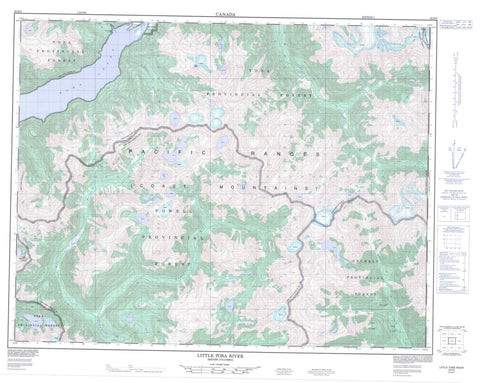
092K08 Little Toba River Canada topo map, 1:50,000 scale
092K08 Little Toba River NRCAN topographic map.
Includes UTM and GPS geographic coordinates (latitude and longitude). This 50k scale map is suitable for hiking, camping, and exploring, or you could frame it as a wall map.
Printed on-demand using high resolution, on heavy weight and acid free paper, or as an upgrade on a variety of synthetic materials.
Topos available on paper, Waterproof, Poly, or Tyvek. Usually shipping rolled, unless combined with other folded maps in one order.
- Product Number: NRCAN-092K08
- Parent Topo: TOPO-092K
- Map ID also known as: 092K08, 92K8, 92K08
- Unfolded Size: Approximately 26" high by 36" wide
- Weight (paper map): ca. 55 grams
- Map Type: POD NRCAN Topographic Map
- Map Scale: 1:50,000
- Geographical region: British Columbia, Canada
Neighboring Maps:
All neighboring Canadian topo maps are available for sale online at 1:50,000 scale.
Purchase the smaller scale map covering this area: Topo-092K
Spatial coverage:
Topo map sheet 092K08 Little Toba River covers the following places:
- Toba Inlet - Blackfin Glacier - Klahoose Indian Reserve 1 - Quaniwsom Indian Reserve 2 - Réserve indienne Klahoose 1 - Réserve indienne Quaniwsom 2 - Boyle Lake - Homfray Lake - Joan Lake - Raindrop Lake - Blackfin Peak - Chaîne Côtière - Clendinning Range - Coast Mountains - Julian Peak - Limpet Ridge - Lockie's Table - Pacific Ranges - Regional District of Comox-Strathcona - Barkshack Creek - Boyle Creek - Chusan Creek - Daniels River - Forbes Creek - Jim Brown Creek - Little Toba River - Lunar Creek - Pilldolla Creek - Powell River - Skwawka River - Tahumming River - Toba River - Scow Bay


