
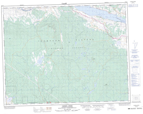
092I10 Cherry Creek Canada topo map, 1:50,000 scale
092I10 Cherry Creek NRCAN topographic map.
Includes UTM and GPS geographic coordinates (latitude and longitude). This 50k scale map is suitable for hiking, camping, and exploring, or you could frame it as a wall map.
Printed on-demand using high resolution, on heavy weight and acid free paper, or as an upgrade on a variety of synthetic materials.
Topos available on paper, Waterproof, Poly, or Tyvek. Usually shipping rolled, unless combined with other folded maps in one order.
- Product Number: NRCAN-092I10
- Parent Topo: TOPO-092I
- Map ID also known as: 092I10, 92I10
- Unfolded Size: Approximately 26" high by 36" wide
- Weight (paper map): ca. 55 grams
- Map Type: POD NRCAN Topographic Map
- Map Scale: 1:50,000
- Geographical region: British Columbia, Canada
Neighboring Maps:
All neighboring Canadian topo maps are available for sale online at 1:50,000 scale.
Purchase the smaller scale map covering this area: Topo-092I
Spatial coverage:
Topo map sheet 092I10 Cherry Creek covers the following places:
- Cooney Bay - Smith Cove - Battle Bluff - Cherry Bluff - Deadman's Creek Indian Reserve - Réserve indienne Deadman's Creek - Réserve indienne Skeetchestn - Skeetchestn Indian Reserve - Alga Pond - Andrew Lake - Beaton Lake - Bose Lake - Brussels Lake - Bull Lake - Chuwhels Lake - Connolly Lake - Cornwall Lake - Dairy Lake - Dairy Lakes - Dominic Lake - Duffy Lake - Durand Lake - East Dairy Lake - Eureka Lake - Face Lake - Fehr Lake - Gilbert Lake - Grace Lake - Hughes Lake - Ice Lake - Kamloops Lake - Kwilalkwila Lake - Leighton Lake - Lodgepole Lake - Melba Lake - Ned Roberts Lake - Paska Lake - Pat Lake - Roper Lake - Salsola Pond - Saltwort Pond - Small Dairy Lake - Tunkwa Lake - Ware Lake - Wyse Lakes - Bose Hill - Chuwhels Mountain - Greenstone Mountain - Mount Anne - Mount Durand - Mount Fehr - Mount Savona - Roper Hill - Six Mile Hill - Greenstone Mountain Park - Mount Savona Park - Tunkwa Park - Walhachin Oxbows Park - Thompson Plateau - Alkali Creek - Axe Creek - Beaton Creek - Brussels Creek - Chartrand Creek - Cherry Creek - Deadman River - Doherty Creek - Duffy Creek - Durand Creek - East Melba Creek - Ferguson Creek - Forge Creek - Greenstone Creek - Guichon Creek - Hay Brook - Indian Garden Creek - Jimmies Creek - Kwilalkwila Creek - Melba Creek - Morrison Creek - Ned Roberts Creek - Pendleton Creek - Peterson Creek - Thompson River - Tranquille River - Tunkwa Creek - Upper Ranch Creek - Walloper Creek - Cherry Creek - Frederick - Munro - Six Mile Ranch - Tobiano - Tranquille - Tranquille


