
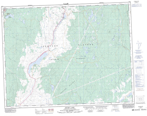
092I08 Stump Lake Canada topo map, 1:50,000 scale
092I08 Stump Lake NRCAN topographic map.
Includes UTM and GPS geographic coordinates (latitude and longitude). This 50k scale map is suitable for hiking, camping, and exploring, or you could frame it as a wall map.
Printed on-demand using high resolution, on heavy weight and acid free paper, or as an upgrade on a variety of synthetic materials.
Topos available on paper, Waterproof, Poly, or Tyvek. Usually shipping rolled, unless combined with other folded maps in one order.
- Product Number: NRCAN-092I08
- Parent Topo: TOPO-092I
- Map ID also known as: 092I08, 92I8, 92I08
- Unfolded Size: Approximately 26" high by 36" wide
- Weight (paper map): ca. 55 grams
- Map Type: POD NRCAN Topographic Map
- Map Scale: 1:50,000
- Geographical region: British Columbia, Canada
Neighboring Maps:
All neighboring Canadian topo maps are available for sale online at 1:50,000 scale.
Purchase the smaller scale map covering this area: Topo-092I
Spatial coverage:
Topo map sheet 092I08 Stump Lake covers the following places:
- Kamloops Indian Reserve 2 - Kamloops Indian Reserve 3 - Réserve indienne Kamloops 2 - Réserve indienne Kamloops 3 - Anderson Lake - Beaverhouse Lake - Blackwell Lake - Bleeker Lake - Blue Lake - Bog Lake - Brigade Lake - Bulman Lake - Bute Lakes - Dardanelles Lake - Ernest Lake - Fraser Lake - Fred Lake - Frisken Lake - Glimpse Lake - Goodwin Lake - Horseshoe Lake - Hugh Lake - Index Lake - John Frank Lake - Kullagh Lake - Lac Le Jeune - Le Jeune Lake - Moir Reservoir - Munro Lake - Napier Lake - Palmer Meadows Lake - Peter Hope Lake - Peterhope Lake - Plateau Lake - Pond Lake - Pratt Lake - Provos Lake - Richie Lake - Ridge Lakes - Roche Lake - Ross Lake - Ross Moore Lake - Rossmoore Lake - Rush Lake - Salmon Lake - Smith Lake - Stump Lake - Todd Lake - Trapp Lake - Tullee Lake - Whiterock Lake - Brigade Hill - Mineral Hill - Monte Hills - Mount Bulman - Lac Le Jeune Park - Roche Lake Park - Douglas Plateau - Thompson Plateau - Blackwell Creek - Bleeker Creek - Campbell Creek - Cowan Creek - Cultus Creek - Deer Creek - Droppingwater Creek - Frisken Creek - Frogmoore Creek - Goodwin Creek - Greaves Creek - Harold Creek - Hay Brook - Hollis Creek - Jack Douglas Creek - John Frank Creek - Kullagh Creek - Luke Creek - Mildred Creek - Moore Creek - Morrison Creek - Munro Creek - Peter Hope Creek - Peterhope Creek - Pratt Creek - Range Creek - Ridge Creek - Rush Creek - Scuitto Creek - Scuittoe Creek - Stumplake Creek - Weyman Creek - Lac Le Jeune - Stump Lake - Range Valley - Rocky Gulch


