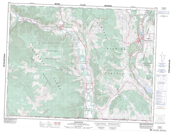
092F08 Parksville Canada topo map, 1:50,000 scale
092F08 Parksville NRCAN topographic map.
Includes UTM and GPS geographic coordinates (latitude and longitude). This 50k scale map is suitable for hiking, camping, and exploring, or you could frame it as a wall map.
Printed on-demand using high resolution, on heavy weight and acid free paper, or as an upgrade on a variety of synthetic materials.
Topos available on paper, Waterproof, Poly, or Tyvek. Usually shipping rolled, unless combined with other folded maps in one order.
- Product Number: NRCAN-092F08
- Parent Topo: TOPO-092F
- Map ID also known as: 092F08, 92F8, 92F08
- Unfolded Size: Approximately 26" high by 36" wide
- Weight (paper map): ca. 55 grams
- Map Type: POD NRCAN Topographic Map
- Map Scale: 1:50,000
- Geographical region: British Columbia, Canada
Neighboring Maps:
All neighboring Canadian topo maps are available for sale online at 1:50,000 scale.
Purchase the smaller scale map covering this area: Topo-092F
Spatial coverage:
Topo map sheet 092F08 Parksville covers the following places:
- Boat Cove - Boho Bay - China Cloud Bay - Craig Bay - False Bay - Graveyard Bay - Home Bay - Jenkins Cove - Long Bay - Mud Bay - Nanoose Harbour - North West Bay - Northwest Bay - Nuttal Bay - Old House Bay - Parksville Bay - Richardson Cove - Rouse Bay - Schooner Cove - Skerry Bay - Squitty Bay - Tahini Cove - Tucker Bay - Windy Bay - Columbia Beach - Dolphin Beach - Qualicum Beach - Wall Beach - Blunden Point - Brant Point - Cottam Point - Dorcas Point - Douglas Point - Elephant Eye Point - Fleet Point - Madrona Point - Nankivell Point - Point Young - Prowse Point - Ranch Point - Richard Point - Tongue Point - Upwood Point - Wallis Point - Young Point - Ballenas Channel - Bull Passage - Little Bull Passage - Sabine Channel - Stevens Passage - Strait of Georgia - Parksville - Lantzville - Cameron Land District - Nanaimo Land District - Nanoose Land District - New Westminster Land District - Newcastle Land District - Texada Island Land District - Wellington Land District - Nanoose Indian Reserve - Réserve indienne Nanoose - Ada Islands - Amelia Island - Ballenas Islands - Boho Island - Bull Island - Circle Island - Douglas Island - Finnerty Islands - Gerald Island - Heath Islet - Higgins Island - Île de Vancouver - Jedediah Island - Jedidiah Island - Jenkins Island - Lasqueti Island - Maude Island - Mistaken Island - North Thormanby Island - Olsen Island - Rabbit Island - Ruth Island - Sangster Island - Sheer Island - Sisters Islets - Southey Island - Texada Island - Thormanby Islands - Vancouver Island - Winchelsea Islands - Yeo Islands - Enos Lake - Hadley Lake - Lambert Lake - Ogden Lake - Trematon Lake - Little Mountain - Mount Cook - Mount Kurtzhals - Nanoose Hill - Notch Hill - Trematon Mountain - Vancouver Island Mountains - Vancouver Island Ranges - Comox Valley Regional District - Regional District of Nanaimo - Arbutus Grove Park - Englishman River Falls Park - Jedediah Island Marine Park - Qualicum National Wildlife Area - Rathtrevor Beach Park - Réserve nationale de faune de Qualicum - Sabine Channel Marine Park - South Texada Island Park - Squitty Bay Marine Park - Squitty Bay Park - Beach Creek - Bloods Creek - Bonell Creek - Carey Creek - Craig Creek - Englishman River - Enos Creek - French Creek - Grandon Creek - Hadley Creek - Hardy Creek - Knarston Creek - Little Qualicum River - Morison Creek - Morningstar Creek - Morrison Creek - Nanoose Creek - Napier Creek - Romeny Creek - Romney Creek - South Englishman River - Swane Creek - Trematon Creek - Whisky Creek - Cottam Reef - Datum Rock - Dorcas Rock - Edgell Banks - Entrance Rocks - Grey Rock - Impérieuse Rock - Jeffrey Rock - Nonooa Rock - Poor Mans Rock - Rudder Rock - Schooner Reef - Sea Egg Rocks - Seal Reef - Qualicum Beach - Bryn - Brynmarl - Coombs - Craig - Craig's Crossing (Craig Ry. Pt.-P.F.) - Dolphin Beach - Errington - False Bay - French Creek - Hilliers - Hillier's - Hilliers Crossing - Hillier's Crossing - Jayem - Lasqueti - Nanoose - Nanoose Bay

