
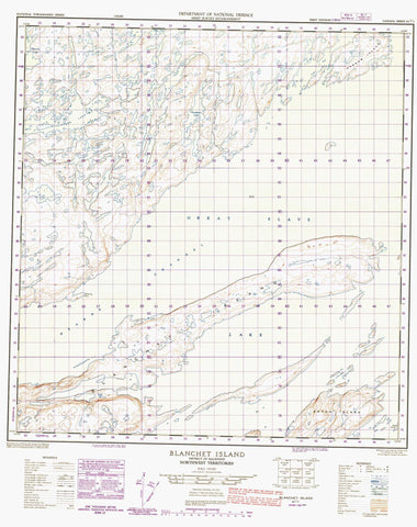
085I01 Blanchet Island Canada topo map, 1:50,000 scale
085I01 Blanchet Island NRCAN topographic map.
Includes UTM and GPS geographic coordinates (latitude and longitude). This 50k scale map is suitable for hiking, camping, and exploring, or you could frame it as a wall map.
Printed on-demand using high resolution, on heavy weight and acid free paper, or as an upgrade on a variety of synthetic materials.
Topos available on paper, Waterproof, Poly, or Tyvek. Usually shipping rolled, unless combined with other folded maps in one order.
- Product Number: NRCAN-085I01
- Parent Topo: TOPO-085I
- Map ID also known as: 085I01, 85I1, 85I01
- Unfolded Size: Approximately 26" high by 36" wide
- Weight (paper map): ca. 55 grams
- Map Type: POD NRCAN Topographic Map
- Map Scale: 1:50,000
- Geographical region: Northwest Territories, Canada
Neighboring Maps:
All neighboring Canadian topo maps are available for sale online at 1:50,000 scale.
Purchase the smaller scale map covering this area: Topo-085I
Spatial coverage:
Topo map sheet 085I01 Blanchet Island covers the following places:
- McKinley Point - Hearne Channel - Blanchet Island - Keith Island - Narrow Island - Seton Island - Blachford Lake - Blatchford Lake - Drever Lake - Faulkner Lake - Grand lac des Esclaves - Great Slave Lake - Mystery Lake - Rainy Lake


