
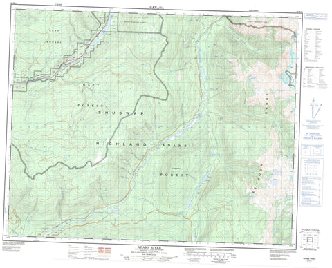
082M11 Adams River Canada topo map, 1:50,000 scale
082M11 Adams River NRCAN topographic map.
Includes UTM and GPS geographic coordinates (latitude and longitude). This 50k scale map is suitable for hiking, camping, and exploring, or you could frame it as a wall map.
Printed on-demand using high resolution, on heavy weight and acid free paper, or as an upgrade on a variety of synthetic materials.
Topos available on paper, Waterproof, Poly, or Tyvek. Usually shipping rolled, unless combined with other folded maps in one order.
- Product Number: NRCAN-082M11
- Parent Topo: TOPO-082M
- Map ID also known as: 082M11, 82M11
- Unfolded Size: Approximately 26" high by 36" wide
- Weight (paper map): ca. 55 grams
- Map Type: POD NRCAN Topographic Map
- Map Scale: 1:50,000
- Geographical region: British Columbia, Canada
Neighboring Maps:
All neighboring Canadian topo maps are available for sale online at 1:50,000 scale.
Purchase the smaller scale map covering this area: Topo-082M
Spatial coverage:
Topo map sheet 082M11 Adams River covers the following places:
- Bischoff Lakes - Bryan Lake - Camp Three Lakes - Dudgeon Lake - Harbour Lake - McGibbney Lake - Mica Lake - Sunset Lake - Upper Harbour Lake - Columbia Mountains - Monashee Mountains - Mount Cunningham - Mount Smiley - Seymour Range - Shuswap Highland - Harbour-Dudgeon Lakes Park - Upper Adams River Park - Wire Cache Park - Interior Plateau - Adams River - Anderson Creek - Bearpark Creek - Beaver Creek - Bower Creek - Briggs Creek - Burton Creek - Camp Six Creek - Camp Twelve Creek - Cayenne Creek - Cornet Creek - Dennery Creek - Donald Creek - Dudgeon Creek - Edwards Creek - Faulkner Creek - George Creek - Goat Creek - Gold Creek - Harbour Creek - Hornet Creek - Ivy Creek - Leggett Creek - Little Creek - Loyst Creek - Magnet Creek - May Creek - McConnell Creek - McGee Creek - McGibbney Creek - Meadow Creek - Mica Creek - Newman Creek - Otter Creek - Pigeon Creek - Ralph Creek - Reg Christie Creek - Regchristie Creek - Robert Creek - Robillard Creek - Sager Creek - Sunset Creek - Sweeper Bill Creek - Todd Creek - Troy Creek - Wallace Creek - Wesley Creek - McMurphy - Wire Cache


