
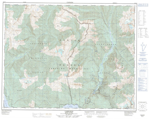
082K13 Camborne Canada topo map, 1:50,000 scale
082K13 Camborne NRCAN topographic map.
Includes UTM and GPS geographic coordinates (latitude and longitude). This 50k scale map is suitable for hiking, camping, and exploring, or you could frame it as a wall map.
Printed on-demand using high resolution, on heavy weight and acid free paper, or as an upgrade on a variety of synthetic materials.
Topos available on paper, Waterproof, Poly, or Tyvek. Usually shipping rolled, unless combined with other folded maps in one order.
- Product Number: NRCAN-082K13
- Parent Topo: TOPO-082K
- Map ID also known as: 082K13, 82K13
- Unfolded Size: Approximately 26" high by 36" wide
- Weight (paper map): ca. 55 grams
- Map Type: POD NRCAN Topographic Map
- Map Scale: 1:50,000
- Geographical region: British Columbia, Canada
Neighboring Maps:
All neighboring Canadian topo maps are available for sale online at 1:50,000 scale.
Purchase the smaller scale map covering this area: Topo-082K
Spatial coverage:
Topo map sheet 082K13 Camborne covers the following places:
- Beaton Arm - Northeast Arm - Northeast Arm of Upper Arrow Lake - Billy Whiskers Glacier - Upper Arrow Lake - Badshot Range - Battle Mountain - Battle Range - Beak Peak - Beowulf Peak - Columbia Mountains - Comaplix Mountain - Duncan Range - Duncan Ranges - Goat Tower - Gold Range - Grendel Peak - Illusion Peak - Lexington Mountain - McCrae Peak - Monashee Mountains - Mount Darling - Mount Ernest - Mount Goldsmith - Mount Hillman - Mount Kenneth - Mount Llewelyn - Mount MacKinlay - Mount McDonnell - Mount McKinnon - Mount Pool - Mount Sproat - Selkirk Mountains - Columbia-Shuswap Regional District - Akolkolex River - Battle Brook - Big Canyon Creek - Boyd Creek - Bullard Creek - Cataract Creek - Columbia River - Comaplix Creek - Crawford Creek - Deadshot Creek - Drimmie Creek - Greeley Creek - Greely Creek - Hadow Creek - Highland Creek - Hillman Creek - Holden Creek - Holyk Creek - Incomappleux River - Johnson Creek - Kellie Creek - Kid Creek - Lean-to Creek - Lexington Creek - Mackinnon Creek - McDougal Creek - McRae Creek - Menhinick Creek - Miller Creek - Mohawk Creek - Paterson Creek - Pool Creek - Pulley Creek - Rennie Creek - Ruby Silver Creek - Sable Creek - Scott Creek - Selkirk Creek - Standfast Creek - Stephney Creek - Sumner Creek - Tank Creek - Thelma Creek - Town Creek - Twin Creek West - Twin West Creek - West Twin Creek - Camborne


