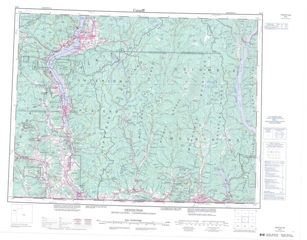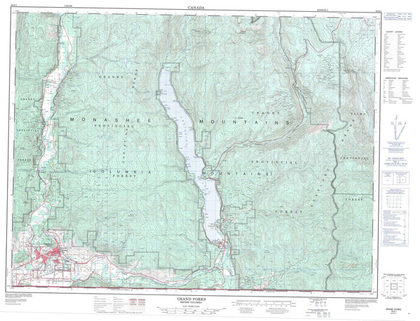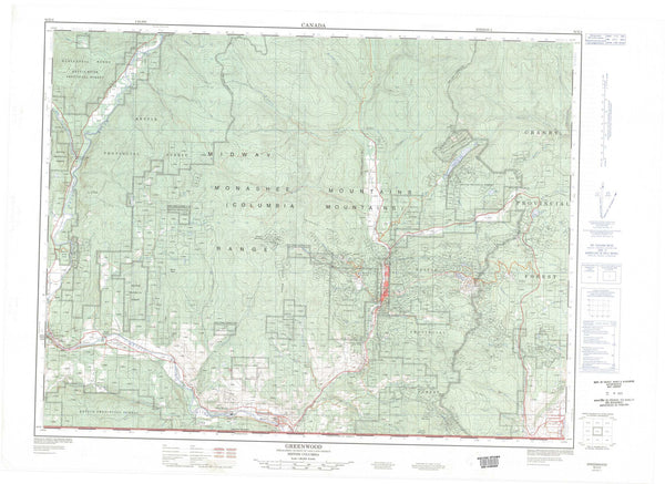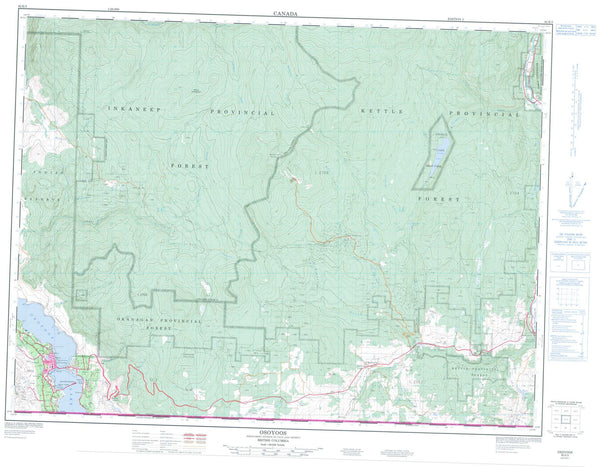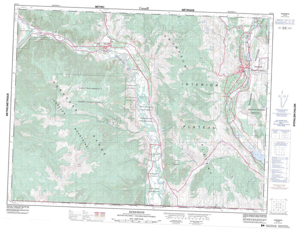
082E12 Summerland Canada topo map, 1:50,000 scale
082E12 Summerland NRCAN topographic map.
Includes UTM and GPS geographic coordinates (latitude and longitude). This 50k scale map is suitable for hiking, camping, and exploring, or you could frame it as a wall map.
Printed on-demand using high resolution, on heavy weight and acid free paper, or as an upgrade on a variety of synthetic materials.
Topos available on paper, Waterproof, Poly, or Tyvek. Usually shipping rolled, unless combined with other folded maps in one order.
- Product Number: NRCAN-082E12
- Parent Topo: TOPO-082E
- Map ID also known as: 082E12, 82E12
- Unfolded Size: Approximately 26" high by 36" wide
- Weight (paper map): ca. 55 grams
- Map Type: POD NRCAN Topographic Map
- Map Scale: 1:50,000
- Geographical region: British Columbia, Canada
Neighboring Maps:
All neighboring Canadian topo maps are available for sale online at 1:50,000 scale.
Purchase the smaller scale map covering this area: Topo-082E
Spatial coverage:
Topo map sheet 082E12 Summerland covers the following places:
- Commando Bay - Reluctant Dragon Cove - Four Mile Point - Gartrell Point - Squally Point - Three Mile Point - Penticton - Peachland - Summerland - Hardy Falls - Kamloops Division Yale Land District - Osoyoos Division Yale Land District - Similkameen Division Yale Land District - Penticton Indian Reserve 1 - Penticton Indian Reserve 3A - Réserve indienne Penticton 1 - Réserve indienne Penticton 3A - Rattlesnake Island - Agur Lake - Baker Lake - Brent Lake - Chute Lake - Darke Lake - Divide Lake - Elinor Lake - Garnet Lake - Gemmill Lake - Isintok Lake - Lebanon Lake - Lequime Lake - Madeline Lake - Munro Lake - Naramata Lake - Norman Lake - Okanagan Lake - Oxbow Lake - Ratnip Lake - Tsuh Lake - Blue Mountain - Giants Head - Isintok Mountain - Mount Acland - Mount Campbell - Mount Conkle - Mount Eneas - Mount Munson - Mount Nkwala - Niggertoe Mountain - Okanagan Highland - Okanagan Mountain - Wild Horse Mountain - Regional District of Central Kootenay - Antlers Beach Park - Claybanks Beach Park - Darke Lake Park - Eneas Lakes Park - Kickininee Park - Manitou Park - Okanagan Lake Park - Okanagan Mountain Park - Sun-Oka Beach Park - Interior Plateau - Thompson Plateau - Arawana Creek - Baerg Creek - Bearpaw Creek - Bull Creek - Camp Creek - Chute Creek - Daniels Creek - Darke Creek - Deeper Creek - Denike Creek - Deschamps Creek - Eneas Creek - Fenton Creek - Finlay Creek - Frederick Creek - Gemmill Creek - Gilser Brook - Good Creek - Hedley Creek - Isintok Creek - Johnson Spring Creek - June Creek - Kevin Brook - Kirton Creek - Koosi Creek - Lapsley Creek - Lebanon Creek - Lequime Creek - Liddell Creek - Lost Chain Creek - Naramata Creek - O'Hagan Creek - Okanagan River - Peachland Creek - Penticton Creek - Prairie Creek - Randolph Creek - Ratnip Creek - Riddle Creek - Robinson Creek - Shingle Creek - Silas Creek - Skulaow Creek - Steward Creek - Strutt Creek - Trout Creek - Trust Creek - Tsuh Creek - Turnbull Creek - Adra - Arawana - Chute Lake - Crescent Beach - Crump - Demuth - Faulder - Garnet Valley - Glenfir - Greata - Kirton - Naramata - Poplar Grove - Prairie Valley - Shingle Creek - Trout Creek - West Bench - West Summerland - Winslow - Meadow Valley - Wild Horse Canyon

