
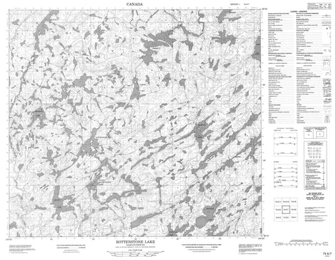
074A07 Rottenstone Lake Canada topo map, 1:50,000 scale
074A07 Rottenstone Lake NRCAN topographic map.
Includes UTM and GPS geographic coordinates (latitude and longitude). This 50k scale map is suitable for hiking, camping, and exploring, or you could frame it as a wall map.
Printed on-demand using high resolution, on heavy weight and acid free paper, or as an upgrade on a variety of synthetic materials.
Topos available on paper, Waterproof, Poly, or Tyvek. Usually shipping rolled, unless combined with other folded maps in one order.
- Product Number: NRCAN-074A07
- Parent Topo: TOPO-074A
- Map ID also known as: 074A07, 74A7, 74A07
- Unfolded Size: Approximately 26" high by 36" wide
- Weight (paper map): ca. 55 grams
- Map Type: POD NRCAN Topographic Map
- Map Scale: 1:50,000
- Geographical region: Saskatchewan, Canada
Neighboring Maps:
All neighboring Canadian topo maps are available for sale online at 1:50,000 scale.
Purchase the smaller scale map covering this area: Topo-074A
Spatial coverage:
Topo map sheet 074A07 Rottenstone Lake covers the following places:
- Albert Lake - Begrand Lake - Deighton Lake - Gow Lake - Grayson Lake - Grimmer Lake - Hockley Lake - Holmesa-Court Lake - Kenyon Lake - Lower Rottenstone Lake - McCrea Lake - McDonald Lake - McLellan Lakes - North Lake - Rottenstone Lake - Tremblay Lake - Taylor Creek


