
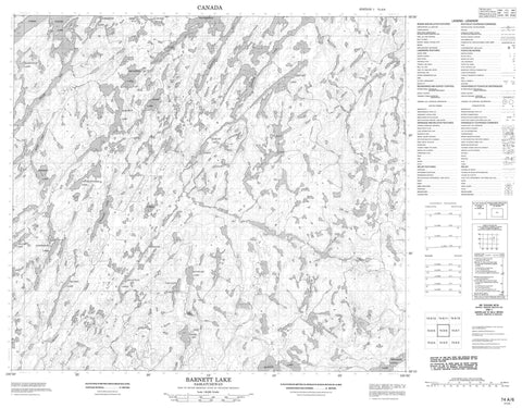
074A06 Barnett Lake Canada topo map, 1:50,000 scale
074A06 Barnett Lake NRCAN topographic map.
Includes UTM and GPS geographic coordinates (latitude and longitude). This 50k scale map is suitable for hiking, camping, and exploring, or you could frame it as a wall map.
Printed on-demand using high resolution, on heavy weight and acid free paper, or as an upgrade on a variety of synthetic materials.
Topos available on paper, Waterproof, Poly, or Tyvek. Usually shipping rolled, unless combined with other folded maps in one order.
- Product Number: NRCAN-074A06
- Parent Topo: TOPO-074A
- Map ID also known as: 074A06, 74A6, 74A06
- Unfolded Size: Approximately 26" high by 36" wide
- Weight (paper map): ca. 55 grams
- Map Type: POD NRCAN Topographic Map
- Map Scale: 1:50,000
- Geographical region: Saskatchewan, Canada
Neighboring Maps:
All neighboring Canadian topo maps are available for sale online at 1:50,000 scale.
Purchase the smaller scale map covering this area: Topo-074A
Spatial coverage:
Topo map sheet 074A06 Barnett Lake covers the following places:
- Kemp Bay - MacDonald Bay - Munro Bay - WelshBay - Adam Lake - Anderson Lake - Barnett Lake - Basaraba Lake - Boyd Lake - Cooke Lake - Fannon Lake - Forde Lake - Gulutzan Lakes - Holmesa-Court Lake - Ingram Lake - Ingram Lakes - Lapointe Lake - Lower Foster Lake - Mackie Lake - MacNeil Lake - MacPherson Lake - Madole Lake - Mark Lake - McKechnie Lake - Oldford Lake - Rodseth Lake - Simmer Lake - Sommerfeld Lake - Stewart Lake - Stinchcombe Lake - Szuszwal Lake - Tarasoff Lake - Cornell Creek - Taylor Creek


