
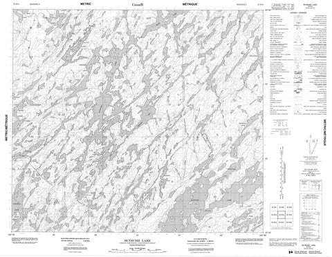
073P14 Mctavish Lake Canada topo map, 1:50,000 scale
073P14 Mctavish Lake NRCAN topographic map.
Includes UTM and GPS geographic coordinates (latitude and longitude). This 50k scale map is suitable for hiking, camping, and exploring, or you could frame it as a wall map.
Printed on-demand using high resolution, on heavy weight and acid free paper, or as an upgrade on a variety of synthetic materials.
Topos available on paper, Waterproof, Poly, or Tyvek. Usually shipping rolled, unless combined with other folded maps in one order.
- Product Number: NRCAN-073P14
- Parent Topo: TOPO-073P
- Map ID also known as: 073P14, 73P14
- Unfolded Size: Approximately 26" high by 36" wide
- Weight (paper map): ca. 55 grams
- Map Type: POD NRCAN Topographic Map
- Map Scale: 1:50,000
- Geographical region: Saskatchewan, Canada
Neighboring Maps:
All neighboring Canadian topo maps are available for sale online at 1:50,000 scale.
Purchase the smaller scale map covering this area: Topo-073P
Spatial coverage:
Topo map sheet 073P14 Mctavish Lake covers the following places:
- Ferguson Bay - Zbarsky Bay - Lyle Point - MacKay Island - McAra Island - Allan Lake - Campbell Lake - Drew Lake - Dye Lake - Fengstad Lake - Friesen Lake - Hepburn Lake - Keith Lake - McGunigal Lake - McIntosh Lake - McTavish Lake - Morken Lake - Mower Lake - Olson Lake - Putnam Lake - Thompson Lake - Toppings Lake - Waters Lake - Watts Lake - Webley Lake - Campbell Rapids - Paull River - Sandy River - White Fish River


