
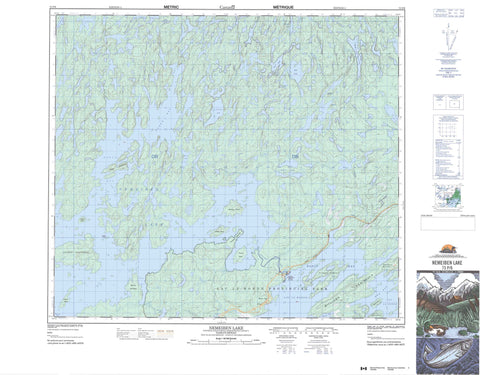
073P06 Nemeiben Lake Canada topo map, 1:50,000 scale
073P06 Nemeiben Lake NRCAN topographic map.
Includes UTM and GPS geographic coordinates (latitude and longitude). This 50k scale map is suitable for hiking, camping, and exploring, or you could frame it as a wall map.
Printed on-demand using high resolution, on heavy weight and acid free paper, or as an upgrade on a variety of synthetic materials.
Topos available on paper, Waterproof, Poly, or Tyvek. Usually shipping rolled, unless combined with other folded maps in one order.
- Product Number: NRCAN-073P06
- Parent Topo: TOPO-073P
- Map ID also known as: 073P06, 73P6, 73P06
- Unfolded Size: Approximately 26" high by 36" wide
- Weight (paper map): ca. 55 grams
- Map Type: POD NRCAN Topographic Map
- Map Scale: 1:50,000
- Geographical region: Saskatchewan, Canada
Neighboring Maps:
All neighboring Canadian topo maps are available for sale online at 1:50,000 scale.
Purchase the smaller scale map covering this area: Topo-073P
Spatial coverage:
Topo map sheet 073P06 Nemeiben Lake covers the following places:
- Bague Bay - Bell Bay - Cuelenaere Bay - Mooney Bay - North Bay - Ore Bay - Rawson Bay - Reynolds Bay - Wadin Bay - Clark Peninsula - Munroe Peninsula - Stewart Peninsula - Thompson Peninsula - Williams Peninsula - Nemebien River Indian Reserve 156C - Réserve indienne Nemebien River 156C - Sucker River 156C - Eliason Island - Lindskog Island - McBeth Island - Moysey Island - Plaxton Island - Speirs Island - Sunset Island - Thorson Island - Whitmore Island - Ball Lake - Benson Lake - Bob Lake - Burgess Lakes - Cycloid Lake - Flatland Lake - Lac la Ronge - Little Crooked Lake - McGuigan Lake - Midway Lake - Miles Lake - Nemeiben Lake - Ohanyank Lake - Sharpe Lakes - Stapleford Lake - White Lake - Wilkinson Lake - Lac la Ronge Park - Eagle River - Midway Creek - Nemeiben Creek - Wadin Creek - Anglo-Rouyn Mine Site - Wadin Bay


