
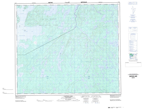
073P01 Cartier Lake Canada topo map, 1:50,000 scale
073P01 Cartier Lake NRCAN topographic map.
Includes UTM and GPS geographic coordinates (latitude and longitude). This 50k scale map is suitable for hiking, camping, and exploring, or you could frame it as a wall map.
Printed on-demand using high resolution, on heavy weight and acid free paper, or as an upgrade on a variety of synthetic materials.
Topos available on paper, Waterproof, Poly, or Tyvek. Usually shipping rolled, unless combined with other folded maps in one order.
- Product Number: NRCAN-073P01
- Parent Topo: TOPO-073P
- Map ID also known as: 073P01, 73P1, 73P01
- Unfolded Size: Approximately 26" high by 36" wide
- Weight (paper map): ca. 55 grams
- Map Type: POD NRCAN Topographic Map
- Map Scale: 1:50,000
- Geographical region: Saskatchewan, Canada
Neighboring Maps:
All neighboring Canadian topo maps are available for sale online at 1:50,000 scale.
Purchase the smaller scale map covering this area: Topo-073P
Spatial coverage:
Topo map sheet 073P01 Cartier Lake covers the following places:
- Hunter Bay - Pickerel Bay - Cabin Point - Harbour Point - Patterson Peninsula - Hayworth Island - Herrick Island - Rainy Island - Reef Isle - Shapiro Island - Big Whitemoose Lake - Blackmore Lake - Cartier Lake - Code Lake - Ellis Lake - Ferner Lake - Few Lake - Ford Lake - Form Lake - Gerein Lake - Gorieu Lake - Houlding Lake - Inch Lake - Jansonn Lake - Kenny Lake - Kinnee Lake - Kippan Lake - Korpach Lake - Lac la Ronge - Lacey Lake - Lawson Lake - Lee Lake - Lucas Lake - MacLachlan Lake - McKee Lake - McKenna Lake - McTavish Lake - Mitchell Lake - Moncrieff Lake - Nunn Lake - Peart Lake - Petch Lake - Piket Lake - Platana Lake - Rhodes Lake - Routledge Lake - Steele Lake - Stilborn Lake - Sweet Lake - Tagseth Lake - Tyman Lake - Wyman Lake - Lac la Ronge Park


