
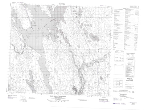
073O05 Lac Ile A La Crosse Canada topo map, 1:50,000 scale
073O05 Lac Ile A La Crosse NRCAN topographic map.
Includes UTM and GPS geographic coordinates (latitude and longitude). This 50k scale map is suitable for hiking, camping, and exploring, or you could frame it as a wall map.
Printed on-demand using high resolution, on heavy weight and acid free paper, or as an upgrade on a variety of synthetic materials.
Topos available on paper, Waterproof, Poly, or Tyvek. Usually shipping rolled, unless combined with other folded maps in one order.
- Product Number: NRCAN-073O05
- Parent Topo: TOPO-073O
- Map ID also known as: 073O05, 73O5, 73O05
- Unfolded Size: Approximately 26" high by 36" wide
- Weight (paper map): ca. 55 grams
- Map Type: POD NRCAN Topographic Map
- Map Scale: 1:50,000
- Geographical region: Saskatchewan, Canada
Neighboring Maps:
All neighboring Canadian topo maps are available for sale online at 1:50,000 scale.
Purchase the smaller scale map covering this area: Topo-073O
Spatial coverage:
Topo map sheet 073O05 Lac Ile A La Crosse covers the following places:
- Aubichon Arm - Long Point Bay - Mogloair Bay - Rosser Bay - South Bay - Belanger Point - Sandy Point - Ile a la Crosse 192E - Big Island - Ile aux Trembles - Amyot Lake - Chudyk Lake - Lac Île-à-la-Crosse - Learn Lake - Mitchell Lake - Zbytnuik Lake - Lac Île-à-la-Crosse (South Bay) Recreation Site - Beaver River - Canoe River - Churchill River - Pine River - Rivière Churchill - Fort Black - Île-à-la-Crosse


