
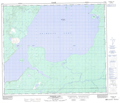
073K13 Primrose Lake Canada topo map, 1:50,000 scale
073K13 Primrose Lake NRCAN topographic map.
Includes UTM and GPS geographic coordinates (latitude and longitude). This 50k scale map is suitable for hiking, camping, and exploring, or you could frame it as a wall map.
Printed on-demand using high resolution, on heavy weight and acid free paper, or as an upgrade on a variety of synthetic materials.
Topos available on paper, Waterproof, Poly, or Tyvek. Usually shipping rolled, unless combined with other folded maps in one order.
- Product Number: NRCAN-073K13
- Parent Topo: TOPO-073K
- Map ID also known as: 073K13, 73K13
- Unfolded Size: Approximately 26" high by 36" wide
- Weight (paper map): ca. 55 grams
- Map Type: POD NRCAN Topographic Map
- Map Scale: 1:50,000
- Geographical region: Saskatchewan, Canada
Neighboring Maps:
All neighboring Canadian topo maps are available for sale online at 1:50,000 scale.
Purchase the smaller scale map covering this area: Topo-073K
Spatial coverage:
Topo map sheet 073K13 Primrose Lake covers the following places:
- Francis Bay - Long Bay - Fulcher Point - Wilson Point - Backes Island - Bailey Island - Baker Island - Beaconsfield Island - Disraeli Island - Shinnan Island - Alberts Lake - Primrose Lake - Backes Island Wildlife Refuge - Farrier Creek - Kesatasew River - Martineau River - Muskeg River - Shaver River - Ustookumin Creek


