
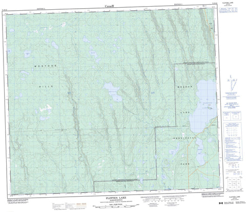
073K10 Flotten Lake Canada topo map, 1:50,000 scale
073K10 Flotten Lake NRCAN topographic map.
Includes UTM and GPS geographic coordinates (latitude and longitude). This 50k scale map is suitable for hiking, camping, and exploring, or you could frame it as a wall map.
Printed on-demand using high resolution, on heavy weight and acid free paper, or as an upgrade on a variety of synthetic materials.
Topos available on paper, Waterproof, Poly, or Tyvek. Usually shipping rolled, unless combined with other folded maps in one order.
- Product Number: NRCAN-073K10
- Parent Topo: TOPO-073K
- Map ID also known as: 073K10, 73K10
- Unfolded Size: Approximately 26" high by 36" wide
- Weight (paper map): ca. 55 grams
- Map Type: POD NRCAN Topographic Map
- Map Scale: 1:50,000
- Geographical region: Saskatchewan, Canada
Neighboring Maps:
All neighboring Canadian topo maps are available for sale online at 1:50,000 scale.
Purchase the smaller scale map covering this area: Topo-073K
Spatial coverage:
Topo map sheet 073K10 Flotten Lake covers the following places:
- Clay Island - Coupland Lake - Fifth Lake - Flotten Lake - Hildred Lake - Jeannette Lake - Mallard Lake - Pipe Lake - Rush Lake - Sergent Lake - Trask Lake - Waterhen Lake - Barnett Ridge - Mostoos Hills - Meadow Lake No. 588 - Meadow Lake Provincial Park - Carl Creek - De La Ronde Creek - Dennis Creek - Fleury Creek - Flotten River - Landry Creek - Moloney Creek - Otter Creek - Ross Creek - Salt Creek - Taylor Creek - Ustookumin Creek - Young Creek


