
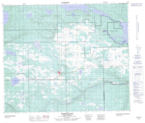
073K05 Pierceland Canada topo map, 1:50,000 scale
073K05 Pierceland NRCAN topographic map.
Includes UTM and GPS geographic coordinates (latitude and longitude). This 50k scale map is suitable for hiking, camping, and exploring, or you could frame it as a wall map.
Printed on-demand using high resolution, on heavy weight and acid free paper, or as an upgrade on a variety of synthetic materials.
Topos available on paper, Waterproof, Poly, or Tyvek. Usually shipping rolled, unless combined with other folded maps in one order.
- Product Number: NRCAN-073K05
- Parent Topo: TOPO-073K
- Map ID also known as: 073K05, 73K5, 73K05
- Unfolded Size: Approximately 26" high by 36" wide
- Weight (paper map): ca. 55 grams
- Map Type: POD NRCAN Topographic Map
- Map Scale: 1:50,000
- Geographical region: Saskatchewan, Canada
Neighboring Maps:
All neighboring Canadian topo maps are available for sale online at 1:50,000 scale.
Purchase the smaller scale map covering this area: Topo-073K
Spatial coverage:
Topo map sheet 073K05 Pierceland covers the following places:
- Big Head Bay - Bighead Bay - Howe Bay - Bear Point - Big Head Indian Reserve 124 - Bighead 124 - Réserve indienne Big Head 124 - Beacon Lake - Cold Lake - Hirtz Lake - Humphrey Lake - Lac des Îles - Lepine Lake - L'Heureux Lake - Meridian Lake - Peebles Lake - Pierce Lake - Pritchard Lake - Turvey Lake - Beaver River No. 622 - Loon Lake No. 561 - Meadow Lake Provincial Park - Pine Woods Recreation Site - Beaver River - Cold River - Redspring Creek - Spencer Creek - Tatukose Creek - Vermilion Creek - Waterhen River - Beacon Hill - Northern Pine - Pierceland


