
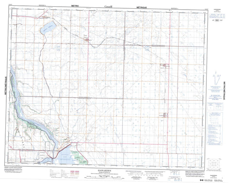
072O07 Hawarden Canada topo map, 1:50,000 scale
072O07 Hawarden NRCAN topographic map.
Includes UTM and GPS geographic coordinates (latitude and longitude). This 50k scale map is suitable for hiking, camping, and exploring, or you could frame it as a wall map.
Printed on-demand using high resolution, on heavy weight and acid free paper, or as an upgrade on a variety of synthetic materials.
Topos available on paper, Waterproof, Poly, or Tyvek. Usually shipping rolled, unless combined with other folded maps in one order.
- Product Number: NRCAN-072O07
- Parent Topo: TOPO-072O
- Map ID also known as: 072O07, 72O7, 72O07
- Unfolded Size: Approximately 26" high by 36" wide
- Weight (paper map): ca. 55 grams
- Map Type: POD NRCAN Topographic Map
- Map Scale: 1:50,000
- Geographical region: Saskatchewan, Canada
Neighboring Maps:
All neighboring Canadian topo maps are available for sale online at 1:50,000 scale.
Purchase the smaller scale map covering this area: Topo-072O
Spatial coverage:
Topo map sheet 072O07 Hawarden covers the following places:
- Coteau Bay - Pump House Bay - Ramp Bay - Spence Bay - Thomson Arm - Coteau (The) - The Coteau - Gardiner Dam - Broderick Reservoir - Lake Diefenbaker - Coteau No. 255 - Fertile Valley No. 285 - Loreburn No. 254 - Rosedale No. 283 - Rudy No. 284 - Coldwell Park Recreation Site - Danielson Provincial Park - Coteau Creek - Inverness Creek - Rivière Saskatchewan Sud - South Saskatchewan River - Stoehr Creek - Cutbank - Jays - Broderick - Glenside - Hawarden - Strongfield


