
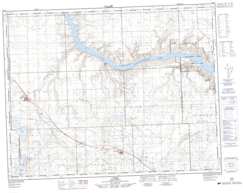
072K09 Cabri Canada topo map, 1:50,000 scale
072K09 Cabri NRCAN topographic map.
Includes UTM and GPS geographic coordinates (latitude and longitude). This 50k scale map is suitable for hiking, camping, and exploring, or you could frame it as a wall map.
Printed on-demand using high resolution, on heavy weight and acid free paper, or as an upgrade on a variety of synthetic materials.
Topos available on paper, Waterproof, Poly, or Tyvek. Usually shipping rolled, unless combined with other folded maps in one order.
- Product Number: NRCAN-072K09
- Parent Topo: TOPO-072K
- Map ID also known as: 072K09, 72K9, 72K09
- Unfolded Size: Approximately 26" high by 36" wide
- Weight (paper map): ca. 55 grams
- Map Type: POD NRCAN Topographic Map
- Map Scale: 1:50,000
- Geographical region: Saskatchewan, Canada
Neighboring Maps:
All neighboring Canadian topo maps are available for sale online at 1:50,000 scale.
Purchase the smaller scale map covering this area: Topo-072K
Spatial coverage:
Topo map sheet 072K09 Cabri covers the following places:
- The Narrows - The Missouri Coteau - Boggy Lake - Lake Diefenbaker - Snakehole Lake - Horse Butte - River Butte - Lacadena No. 228 - Miry Creek No. 229 - Pittville No. 169 - Riverside No. 168 - Saskatchewan Landing No. 167 - Cabri Regional Park - Saskatchewan Landing Provincial Park - Antelope Creek - Miry Creek - Rivière Saskatchewan Sud - South Saskatchewan River - Teepee Creek - Thibodo Creek - Cabri - Battrum - Grant - Pennant Station - Wickett - Brunyee Coulee - James Coulee - Laurie Coulee - Prime Coulee - Smart Coulee - Pennant


