
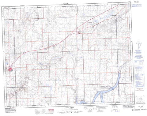
072K01 Gull Lake Canada topo map, 1:50,000 scale
072K01 Gull Lake NRCAN topographic map.
Includes UTM and GPS geographic coordinates (latitude and longitude). This 50k scale map is suitable for hiking, camping, and exploring, or you could frame it as a wall map.
Printed on-demand using high resolution, on heavy weight and acid free paper, or as an upgrade on a variety of synthetic materials.
Topos available on paper, Waterproof, Poly, or Tyvek. Usually shipping rolled, unless combined with other folded maps in one order.
- Product Number: NRCAN-072K01
- Parent Topo: TOPO-072K
- Map ID also known as: 072K01, 72K1, 72K01
- Unfolded Size: Approximately 26" high by 36" wide
- Weight (paper map): ca. 55 grams
- Map Type: POD NRCAN Topographic Map
- Map Scale: 1:50,000
- Geographical region: Saskatchewan, Canada
Neighboring Maps:
All neighboring Canadian topo maps are available for sale online at 1:50,000 scale.
Purchase the smaller scale map covering this area: Topo-072K
Spatial coverage:
Topo map sheet 072K01 Gull Lake covers the following places:
- Ferguson Bay - Antelope Lake - Gander Lake - Goose Lake - Gosling Lake - Gull Lake - Moat Lake - Reid Lake - Ross Lake - Whitegull Lake - Carmichael No. 109 - Gull Lake No. 139 - Lac Pelletier No. 107 - Swift Current No. 137 - Webb No. 138 - Duncairn Reservoir Bird Sanctuary - Gull Lake Recreation Site - Refuge d'oiseaux de Duncairn Reservoir - Réserve nationale de faune de Webb - Webb National Wildlife Area - Bridge Creek - Swift Current Creek - Swiftcurrent Creek - Gull Lake - Antelope - Duncairn - Premier - Seward - Vesper - Webb


