
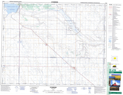
072J16 Eyebrow Canada topo map, 1:50,000 scale
072J16 Eyebrow NRCAN topographic map.
Includes UTM and GPS geographic coordinates (latitude and longitude). This 50k scale map is suitable for hiking, camping, and exploring, or you could frame it as a wall map.
Printed on-demand using high resolution, on heavy weight and acid free paper, or as an upgrade on a variety of synthetic materials.
Topos available on paper, Waterproof, Poly, or Tyvek. Usually shipping rolled, unless combined with other folded maps in one order.
- Product Number: NRCAN-072J16
- Parent Topo: TOPO-072J
- Map ID also known as: 072J16, 72J16
- Unfolded Size: Approximately 26" high by 36" wide
- Weight (paper map): ca. 55 grams
- Map Type: POD NRCAN Topographic Map
- Map Scale: 1:50,000
- Geographical region: Saskatchewan, Canada
Neighboring Maps:
All neighboring Canadian topo maps are available for sale online at 1:50,000 scale.
Purchase the smaller scale map covering this area: Topo-072J
Spatial coverage:
Topo map sheet 072J16 Eyebrow covers the following places:
- Gordon McKenzie Arm - Qu'Appelle Valley Dam - Eye Lake - Eyebrow Lake - Lake Diefenbaker - Eyebrow Hills - Sand Hills - Craik No. 222 - Enfield No. 194 - Eyebrow No. 193 - Huron No. 223 - Maple Bush No. 224 - Marquis No. 191 - Douglas Provincial Park - Nisku Wildlife Refuge - Aiktow Creek - Deer Run Creek - Iskwao Creek - Qu'Appelle River - Ridge Creek - Squaw Creek - Macdonald Spring - Bridgeford - Mawer - Tom Ford's Coulee - Eyebrow - Tugaske


