
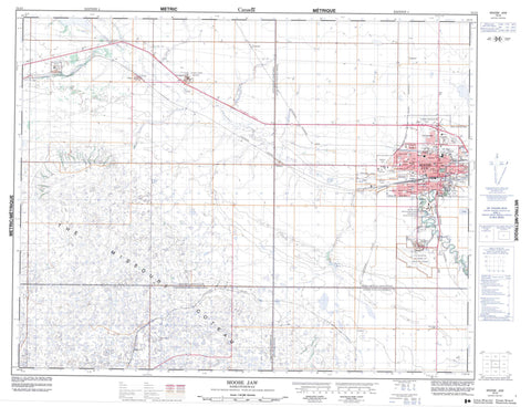
072I05 Moose Jaw Canada topo map, 1:50,000 scale
072I05 Moose Jaw NRCAN topographic map.
Includes UTM and GPS geographic coordinates (latitude and longitude). This 50k scale map is suitable for hiking, camping, and exploring, or you could frame it as a wall map.
Printed on-demand using high resolution, on heavy weight and acid free paper, or as an upgrade on a variety of synthetic materials.
Topos available on paper, Waterproof, Poly, or Tyvek. Usually shipping rolled, unless combined with other folded maps in one order.
- Product Number: NRCAN-072I05
- Parent Topo: TOPO-072I
- Map ID also known as: 072I05, 72I5, 72I05
- Unfolded Size: Approximately 26" high by 36" wide
- Weight (paper map): ca. 55 grams
- Map Type: POD NRCAN Topographic Map
- Map Scale: 1:50,000
- Geographical region: Saskatchewan, Canada
Neighboring Maps:
All neighboring Canadian topo maps are available for sale online at 1:50,000 scale.
Purchase the smaller scale map covering this area: Topo-072I
Spatial coverage:
Topo map sheet 072I05 Moose Jaw covers the following places:
- Moose Jaw - The Missouri Coteau - Caron - Caron Ditch - Base des Forces canadiennes Moose Jaw - Canadian Forces Base Moose Jaw - Baildon No. 131 - Caron No. 162 - Hillsborough No. 132 - Moose Jaw No. 161 - Besant Recreation Site - Moose Jaw Game Preserve - Moose Jaw River - Sandy Creek - Thunder Creek - Wilson Creek - Snowdys Springs - Abound - Archive - Archydal - Belbeck - Boharm - Britannia Park - Burt - Bushell Park - Caribou Heights - Churchill Park - City View - CPR - Crescent View - Curle - Currie Heights - Dunmore - Earnscliffe - Fairview - Grand View - Greyson Industrial Park - High Park - Highland Park - Hill Crest - Industrial Centre - Kingsway Park - Lillestrom - Lynbrook Heights - Mooscana - New Currie - Pacific Park - Palliser Heights - Parkdale Boulevard - Pleasant View - Prairie Heights - Regal Heights - Rideau Heights - River Park - River View - Rosemont - Ross Park - Rothesay Park - Sevenmile - Slater - Sunningdale - Sunnyside - Tapley - The Highlands - University - University Heights - Victoria Heights - Wellesley Park - Westheath - Westmore - Westmount - Windsor Park - Archydal Coulee - Richards Coulee - Snowdys Coulee - Caronport


