
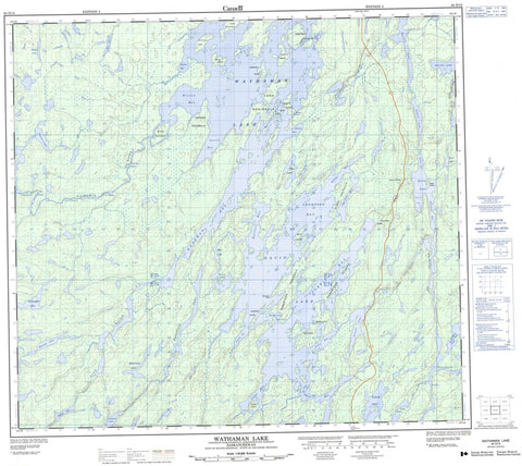
064D13 Wathaman Lake Canada topo map, 1:50,000 scale
064D13 Wathaman Lake NRCAN topographic map.
Includes UTM and GPS geographic coordinates (latitude and longitude). This 50k scale map is suitable for hiking, camping, and exploring, or you could frame it as a wall map.
Printed on-demand using high resolution, on heavy weight and acid free paper, or as an upgrade on a variety of synthetic materials.
Topos available on paper, Waterproof, Poly, or Tyvek. Usually shipping rolled, unless combined with other folded maps in one order.
- Product Number: NRCAN-064D13
- Parent Topo: TOPO-064D
- Map ID also known as: 064D13, 64D13
- Unfolded Size: Approximately 26" high by 36" wide
- Weight (paper map): ca. 55 grams
- Map Type: POD NRCAN Topographic Map
- Map Scale: 1:50,000
- Geographical region: Saskatchewan, Canada
Neighboring Maps:
All neighboring Canadian topo maps are available for sale online at 1:50,000 scale.
Purchase the smaller scale map covering this area: Topo-064D
Spatial coverage:
Topo map sheet 064D13 Wathaman Lake covers the following places:
- Cairns Bay - Campbell Bay - Carson Bay - Currie Bay - Hillier Bay - Lightle Bay - MacLean Bay - Michael Bay - Miller Bay - Nyberg Bay - Olson Bay - Paul Bay - Purvis Bay - Stewart Bay - Thompson Bay - Wallace Bay - Walsh Bay - Wilson Bay - Woodman Bay - Carson Peninsula - Cook Peninsula - Fisher Peninsula - Olson Peninsula - Robertson Peninsula - Robertson Point - Wilson Peninsula - Brown Narrows - Campbell Narrows - Robertson Narrows - Watson Narrows - Campbell Islands - Irvine Island - Lawrence Island - Little Island - McClellan Island - Miller Island - Molloy Island - Morrison Island - Nesbitt Island - Robertson Islands - Russell Island - Smith Island - Watson Island - White Island - Atwater Lake - Billesberger Lake - Coyle Lake - Davin Lake - Erickson Lake - Evans Lake - Kane Lake - Kelsey Lake - Loverick Lake - MacMillan Lake - McLaughlin Lake - McLeod Lake - Metcalfe Lake - Morris Lake - Oliver Lake - Pasterfield Lake - Peters Lake - Price Lake - Pritchard Lake - Rice Lake - Roberts Lake - Ross Lake - Schaffer Lake - Skinner Lake - Wathaman Lake - Davin Lake Recreation Site - Bell Rapids - Collins Rapids - Cowan Rapids - McKenzie Rapids - Stuart Rapids - Pink River - Ross River - Wathaman River


