
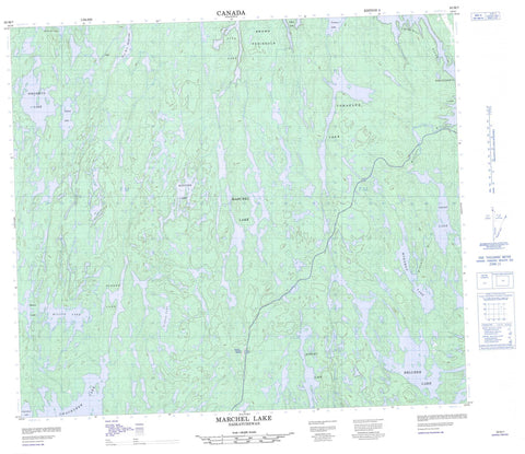
063M07 Marchel Lake Canada topo map, 1:50,000 scale
063M07 Marchel Lake NRCAN topographic map.
Includes UTM and GPS geographic coordinates (latitude and longitude). This 50k scale map is suitable for hiking, camping, and exploring, or you could frame it as a wall map.
Printed on-demand using high resolution, on heavy weight and acid free paper, or as an upgrade on a variety of synthetic materials.
Topos available on paper, Waterproof, Poly, or Tyvek. Usually shipping rolled, unless combined with other folded maps in one order.
- Product Number: NRCAN-063M07
- Parent Topo: TOPO-063M
- Map ID also known as: 063M07, 63M7, 63M07
- Unfolded Size: Approximately 26" high by 36" wide
- Weight (paper map): ca. 55 grams
- Map Type: POD NRCAN Topographic Map
- Map Scale: 1:50,000
- Geographical region: Saskatchewan, Canada
Neighboring Maps:
All neighboring Canadian topo maps are available for sale online at 1:50,000 scale.
Purchase the smaller scale map covering this area: Topo-063M
Spatial coverage:
Topo map sheet 063M07 Marchel Lake covers the following places:
- Brown Peninsula - Milne Channel - Mussena Falls - Belcher Lake - Chachukew Lake - Graham Lake - Harvey Lake - Maguire Lake - Marchel Lake - Mekisuk Lake - Millar Lake - Mukoman Lake - Ohoo Lake - Pikoo Lake - Pikusikun Lake - Pita Lake - Pollock Lake - Raven Lake - Ray Lake - Scherr Lake - Sokatisewin Lake - Tomahawk Lake - Tommy Lake - Mukoman Rapids - Churchill River - Mukoman River - Rivière Churchill


