
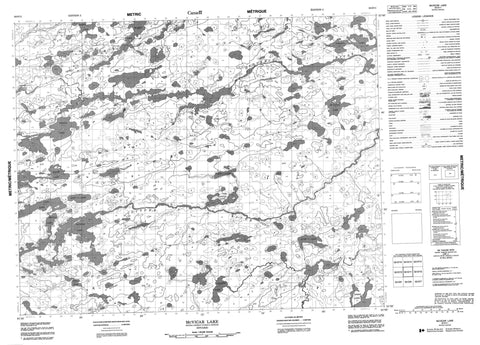
052O11 Mcvicar Lake Canada topo map, 1:50,000 scale
052O11 Mcvicar Lake NRCAN topographic map.
Includes UTM and GPS geographic coordinates (latitude and longitude). This 50k scale map is suitable for hiking, camping, and exploring, or you could frame it as a wall map.
Printed on-demand using high resolution, on heavy weight and acid free paper, or as an upgrade on a variety of synthetic materials.
Topos available on paper, Waterproof, Poly, or Tyvek. Usually shipping rolled, unless combined with other folded maps in one order.
- Product Number: NRCAN-052O11
- Parent Topo: TOPO-052O
- Map ID also known as: 052O11, 52O11
- Unfolded Size: Approximately 26" high by 36" wide
- Weight (paper map): ca. 55 grams
- Map Type: POD NRCAN Topographic Map
- Map Scale: 1:50,000
- Geographical region: Ontario, Canada
Neighboring Maps:
All neighboring Canadian topo maps are available for sale online at 1:50,000 scale.
Purchase the smaller scale map covering this area: Topo-052O
Spatial coverage:
Topo map sheet 052O11 Mcvicar Lake covers the following places:
- Andy Lake - Boyes Lake - Cannon Lake - Card Lake - Cleary Lake - De Lucia Lake - Dobie Lake - Gaddess Lake - Jutzi Lake - Lang Lake - Maika Lake - Maxim Lake - McVicar Lake - Morris Lake - Saddle Lake - Semia Lake - Shonia Lake - Bertrand River - Boyes Creek - Cannon Creek - Gitche River - Meen River - Otoskwin River - Saddle Creek - Semia Creek


