
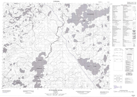
052N05 Nungesser River Canada topo map, 1:50,000 scale
052N05 Nungesser River NRCAN topographic map.
Includes UTM and GPS geographic coordinates (latitude and longitude). This 50k scale map is suitable for hiking, camping, and exploring, or you could frame it as a wall map.
Printed on-demand using high resolution, on heavy weight and acid free paper, or as an upgrade on a variety of synthetic materials.
Topos available on paper, Waterproof, Poly, or Tyvek. Usually shipping rolled, unless combined with other folded maps in one order.
- Product Number: NRCAN-052N05
- Parent Topo: TOPO-052N
- Map ID also known as: 052N05, 52N5, 52N05
- Unfolded Size: Approximately 26" high by 36" wide
- Weight (paper map): ca. 55 grams
- Map Type: POD NRCAN Topographic Map
- Map Scale: 1:50,000
- Geographical region: Ontario, Canada
Neighboring Maps:
All neighboring Canadian topo maps are available for sale online at 1:50,000 scale.
Purchase the smaller scale map covering this area: Topo-052N
Spatial coverage:
Topo map sheet 052N05 Nungesser River covers the following places:
- Anderson Lake - Baisley Lake - Coli Lake - Cronin Lake - Deebank Lake - Farrer Lake - Kirkness Lake - Lavis Lake - Lillycrop Lake - Little Vermilion Lake - Minnett Lake - Naylor Lake - Nungesser Lake - Openshaw Lake - Peall Lake - Pedlar Lake - Rathouse Lake - Reigate Lake - Rieger Lake - Sambells Lake - Sidace Lake - Sims Lake - Teeple Lake - Toutin Lake - Treversh Lake - Woodey Lake - Zimring Lake - Anderson Creek - Chukuni River - Coli Creek - Nungesser River - Sidace Creek


