
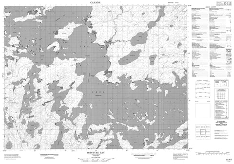
052K07 Mcintyre Bay Canada topo map, 1:50,000 scale
052K07 Mcintyre Bay NRCAN topographic map.
Includes UTM and GPS geographic coordinates (latitude and longitude). This 50k scale map is suitable for hiking, camping, and exploring, or you could frame it as a wall map.
Printed on-demand using high resolution, on heavy weight and acid free paper, or as an upgrade on a variety of synthetic materials.
Topos available on paper, Waterproof, Poly, or Tyvek. Usually shipping rolled, unless combined with other folded maps in one order.
- Product Number: NRCAN-052K07
- Parent Topo: TOPO-052K
- Map ID also known as: 052K07, 52K7, 52K07
- Unfolded Size: Approximately 26" high by 36" wide
- Weight (paper map): ca. 55 grams
- Map Type: POD NRCAN Topographic Map
- Map Scale: 1:50,000
- Geographical region: Ontario, Canada
Neighboring Maps:
All neighboring Canadian topo maps are available for sale online at 1:50,000 scale.
Purchase the smaller scale map covering this area: Topo-052K
Spatial coverage:
Topo map sheet 052K07 Mcintyre Bay covers the following places:
- Bay of Islands - Bray Bay - Farewell Bay - McIntyre Bay - McKenzie Bay - Portage Cove - South Bay - South Inlet - Williams Bay - Manitoba Point - Rocky Point - Stony Point - Windigo Point - Ghost Narrows - Hungry Narrows - Manitou Narrows - North Channel - Poplar Narrows - Shanty Narrows - Lac Seul Indian Reserve 28 - Réserve indienne Lac Seul 28 - Big Island - Big Island - Bray Lake Channel Island - Derwin Island - Foxon's Light - Grassy Narrows Island - Honeymoon Island - Indian Island - Moose River Island - Bray Lake - Broad Lake - Broadcast Lake - Clear Lake - Glider Lake - Lac Seul - Pipette Lake - Spree Lake - Sunlight Lake - Williams Lake - Windigo Point Provincial Nature Reserve - Altimeter Creek - Birmingham Creek - Broadcast Creek - Glider Creek - Manitou Creek - Spree Creek - Spruce River - Warship Creek - Lac Seul


