
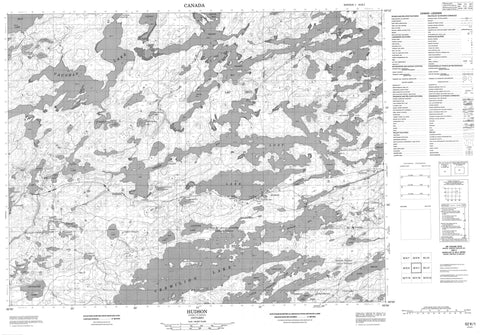
052K01 Hudson Canada topo map, 1:50,000 scale
052K01 Hudson NRCAN topographic map.
Includes UTM and GPS geographic coordinates (latitude and longitude). This 50k scale map is suitable for hiking, camping, and exploring, or you could frame it as a wall map.
Printed on-demand using high resolution, on heavy weight and acid free paper, or as an upgrade on a variety of synthetic materials.
Topos available on paper, Waterproof, Poly, or Tyvek. Usually shipping rolled, unless combined with other folded maps in one order.
- Product Number: NRCAN-052K01
- Parent Topo: TOPO-052K
- Map ID also known as: 052K01, 52K1, 52K01
- Unfolded Size: Approximately 26" high by 36" wide
- Weight (paper map): ca. 55 grams
- Map Type: POD NRCAN Topographic Map
- Map Scale: 1:50,000
- Geographical region: Ontario, Canada
Neighboring Maps:
All neighboring Canadian topo maps are available for sale online at 1:50,000 scale.
Purchase the smaller scale map covering this area: Topo-052K
Spatial coverage:
Topo map sheet 052K01 Hudson covers the following places:
- Ament Bay - Bearpaw Bay - Blackfox Bay - Botham Bay - Canoe Bay - Deception Bay - Italian Bay - Lower Grassy Bay - Lyons Bay - Picnic Bay - Tin Can Bay - Troutfish Bay - Twin Falls Bay - Upper Grassy Bay - Vaughan Bay - Von's Bay - Webster Bay - Whitefish Bay - Frenchman's Head - Dinner Place Point - Pemmican Point - Puller's Point - Ranger's Point - Stone Point - Backstretch Narrows - Bannatyne Narrows - Devil's Elbow - Hudson Narrows - Johnson's Narrows - Manitou Shortcut - Vaughan Channel - Whitefish Channel - Young Narrows - Pelican Falls - Twin Falls - Drayton - Jordan - Lomond - McIlraith - Vermilion - Vermilion Additional - Lac Seul 28 - Lac Seul Indian Reserve 28 - Réserve indienne Lac Seul 28 - Buck Island - Burnt Island - Deer Island - East Corner - Godden Island - Gull Island - Gun Club Island - Rabbit Island - Whitefish Island - Abram Lake - Alder Lake - Badland Lake - Bee Lake - Big Vermilion Lake - Bray Lake - Centrefire Lake - Cherry Lake - Clear Lake - Closs Lake - Farlinger Lake - Fire Lake - Four Mile Lake - Goodie Lake - Grass Lake - Gwilliams Lake - Hamlyn Lake - Hannah Lake - Hibbert Lake - Islay Lake - Jackfish Lake - Jacknife Lake - Lac Seul - Lily Lake - Little Vermilion Lake - Lost Lake - Lynx Lake - Mestowana Lake - Minnitaki Lake - Mud Lake - Nyilas Lake - Olga Lake - One Lake - Patara Lake - Pelican Lake - Richardson Lake - Sam Lake - Skorban Lake - Snyder Lake - Tab Lake - Taggart Lake - Tax Lake - Terry Lake - Topsy Lake - Vaughan Lake - Vaughan Lake - Vermilion Lake - Whipper Lake - Whitefish Lake - Whiz Lake - Windfall Lake - Ojibway Provincial Park - Crooked Rapids - Blackfox Creek - Centrefire Creek - Clear Creek - English River - Fire Creek - Goodie Creek - Grove Creek - Moose Creek - Sucker Creek - Vaughan River - Dinner Portage - Little Vermilion Portage - Solid Wood Portage - Sioux Lookout - Frenchman's Head - Hudson - Pelican - Sam Lake - Taggart - Webster


