
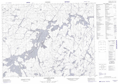
052J12 Anenimus River Canada topo map, 1:50,000 scale
052J12 Anenimus River NRCAN topographic map.
Includes UTM and GPS geographic coordinates (latitude and longitude). This 50k scale map is suitable for hiking, camping, and exploring, or you could frame it as a wall map.
Printed on-demand using high resolution, on heavy weight and acid free paper, or as an upgrade on a variety of synthetic materials.
Topos available on paper, Waterproof, Poly, or Tyvek. Usually shipping rolled, unless combined with other folded maps in one order.
- Product Number: NRCAN-052J12
- Parent Topo: TOPO-052J
- Map ID also known as: 052J12, 52J12
- Unfolded Size: Approximately 26" high by 36" wide
- Weight (paper map): ca. 55 grams
- Map Type: POD NRCAN Topographic Map
- Map Scale: 1:50,000
- Geographical region: Ontario, Canada
Neighboring Maps:
All neighboring Canadian topo maps are available for sale online at 1:50,000 scale.
Purchase the smaller scale map covering this area: Topo-052J
Spatial coverage:
Topo map sheet 052J12 Anenimus River covers the following places:
- Anenimus Bay - Brisco Inlet - Coones Bay - Gynane Bay - Merritt Bay - Quirt Bay - Wapesi Bay - Adamhay Lake - Annis Lake - Bingo Lake - Broke Lake - Dagmar Lake - Dagny Lake - Donch Lake - Dunbar Lake - Easen Lake - Felt Lake - Filter Lake - Flash Lake - Folkard Lake - Free Lake - Garbo Lake - Girvin Lake - Haig Lake - Horse Lake - Idaho Lake - Jackson Lake - Lac Seul - Leether Lake - MacDuff Lake - Mahogany Lake - March Lake - McNeely Lake - Milner Lake - Mount Lake - Pocock Lake - Prete Lake - Ration Lake - Rogow Lake - Shea Lake - Stemmler Lake - Theatre Lake - Tully Lake - Turret Lake - Udly Lake - Walk Lake - Winston Lake - Perch Ripple - Anenimus River - Balsawood Creek - Copilot Creek - Dagmar Creek - Deadhead Creek - Donch Creek - Dunbar Creek - Ecar Creek - Filter Creek - Flash Creek - Free Creek - Horse Creek - Idaho Creek - Maskara River - Newt Creek - Root River - Winston Creek


