
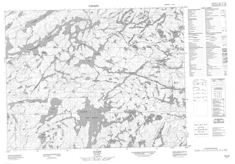
052J03 Ycliff Canada topo map, 1:50,000 scale
052J03 Ycliff NRCAN topographic map.
Includes UTM and GPS geographic coordinates (latitude and longitude). This 50k scale map is suitable for hiking, camping, and exploring, or you could frame it as a wall map.
Printed on-demand using high resolution, on heavy weight and acid free paper, or as an upgrade on a variety of synthetic materials.
Topos available on paper, Waterproof, Poly, or Tyvek. Usually shipping rolled, unless combined with other folded maps in one order.
- Product Number: NRCAN-052J03
- Parent Topo: TOPO-052J
- Map ID also known as: 052J03, 52J3, 52J03
- Unfolded Size: Approximately 26" high by 36" wide
- Weight (paper map): ca. 55 grams
- Map Type: POD NRCAN Topographic Map
- Map Scale: 1:50,000
- Geographical region: Ontario, Canada
Neighboring Maps:
All neighboring Canadian topo maps are available for sale online at 1:50,000 scale.
Purchase the smaller scale map covering this area: Topo-052J
Spatial coverage:
Topo map sheet 052J03 Ycliff covers the following places:
- Muskrat Bay - Northeast Bay - Twin Falls - Barrett - Atlantic Lake - Badshot Lake - Bent Lake - Black Beaver Lake - Bread Lake - Bungy Lake - Burnt Dam Lake - Caribou Lake - Conver Lake - Corsica Lake - Die Lake - Divided Lake - Dizzy Lake - Dominion Lake - Ekstrom Lake - Gart Lake - Gary Lake - Gibraltar Lake - Handcuff Lake - Horne Lake - Kena Lake - Kinniwap Lake - Lake of Bays - London Lake - Louise Lake - Mall Lake - Malta Lake - Marchington Lake - Marion Lake - McBain Lake - McDott Lake - Mile Board Lake - Nagron Lake - Nak Lake - Nesbitt Lake - Nog Lake - Noss Lake - Pacific Lake - Paris Lake - Payne Lake - Quaint Lake - Reynolds Lake - Rome Lake - Sahara Lake - Singapore Lake - Spruce Lake - Stanzhikimi Lake - Stranger Lake - Tawatinaw Lake - Ten Mile Lake - Ward Lake - Bent Creek - Dominion Creek - Dominion River - Kee Creek - Kinniwap Brook - Kinniwap Creek - Lake of Bays River - Mall Creek - Nagron Creek - Nesbitt Creek - North River - Pacific Creek - Payne Creek - Sturgeon River - Watin Creek - Ycliff Creek - Spruce Portage - Ghost River - Robinson - Smith - Wardrope - Ycliff


